Very Wet Weather Is Ahead
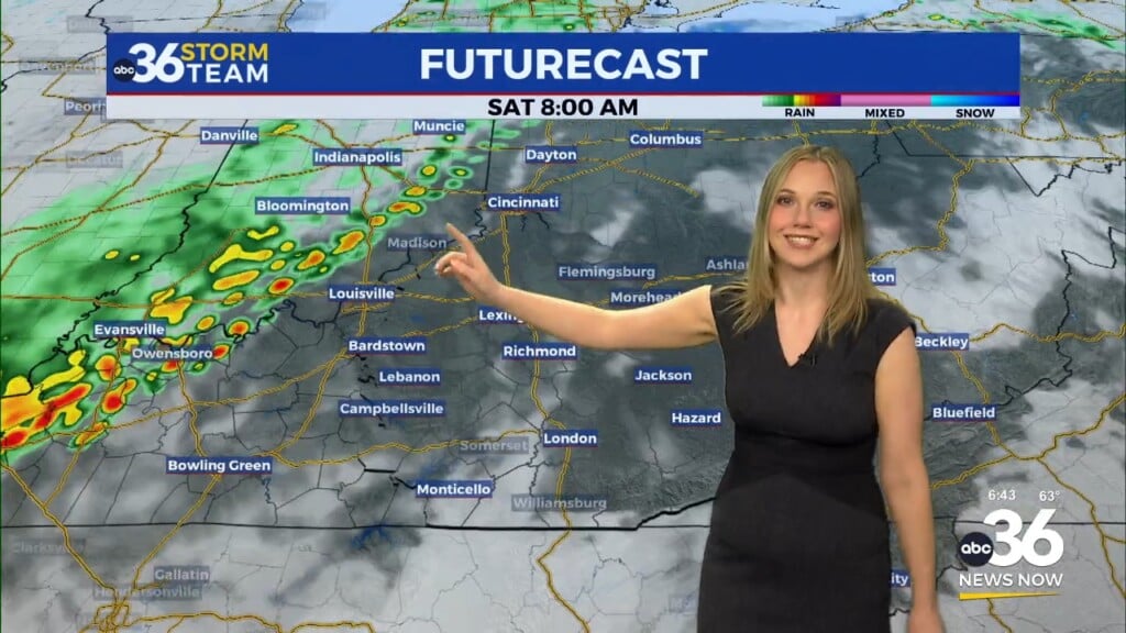
Showers and a few thunderstorms roll in late (after 2 AM-ish). We continue warm Tuesday, despite the rain (heavy at times). A wet week is ahead. Likely three different rounds of rain, heavy at times.
Tonight: Mainly cloudy with rain moving in late. Breezy south winds 10-15 mph and a low of 55.
Tuesday: Rain off and on, heavy at times. We are likely to see 2+ inches of rain. A few rumbles of thunder are possible too. South winds 10-20 gusting up to 45 mph. A high of 66.
Rain continues Tuesday night into early Wednesday for southeastern KY.
Wednesday: a brief break between systems. Mostly cloudy and a cooler high of 47.
Wednesday late night into early Thursday looks like our next wet system.
Thursday: rain, heavy at times. Breezy as well. a high of 47. An inch of rain is likely.
Thursday night: rain continues, we could have a wintry mix too. A low of 32.
Friday: a wintry mix is likely at times, mainly early. A high of 40.
Saturday: Partly sunny and continued cold. A high of 37.
Sunday: Partly cloudy and a high of 41.
*Today in weather history
Lexington- 2017 a record high of 72 was set. 2.02″ of rain fell in 1993. 6.2″ of snow in 1929.
in 1993, an F-0 tornado struck two miles from Flemingsburg. A barn was destroyed and damage at a nearby mobile home park. No injuries, fortunately.
1971 – An outbreak of tornadoes hit northeastern Louisiana and northern and central Mississippi. The tornadoes claimed 121 lives, including 110 in Mississippi. Three tornadoes accounted for 118 of the deaths. There are 1600 persons injured, 900 homes were destroyed or badly damaged, and total damage was 19 million dollars. (David Ludlum)


Leave a Reply