Unsettled weather returns to start the new week
Multiple rounds of showers and thunderstorms are possible in Central and Eastern Kentucky this week
After a great weather weekend, well-advertised changes are just around the corner. We are keeping track of an area of low pressure developing across the Central Plains that will move into the Midwest and Ohio Valley over the next few days.
Much of the day Monday should be dry with increasing clouds. Humidity will be on the rise so it will likely feel somewhat sticky outside. By Monday evening, showers and thunderstorms are expected to develop to our west and arrive in Central and Eastern Kentucky after dark, although isolated storms are possible before.
A few storms may be strong with gusty winds and small hail, but the best chance of severe weather will be across Western Kentucky.
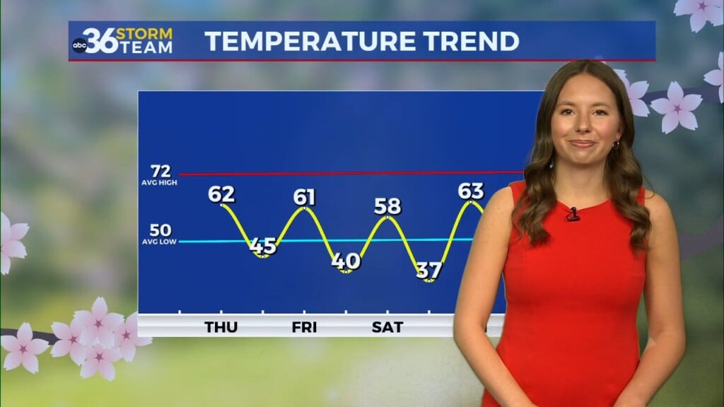
Daily shower and thunderstorm chances are in the forecast through the weekend, with Thursday likely being the only completely dry day. The good news is there will be plenty of dry time and no one day looks like a washout.


