Unseasonably hot weather is on the way for the last week of summer
A ridge of high pressure will build across the central United States next week, causing temperatures to rise significantly
We were treated to another great day Saturday with plenty of sunshine and warm temperatures that reached the mid-80s. Luckily, there wasn’t much humidity which kept things comfortable even though we were slightly above average.
With high pressure to our south, we’ll find another pleasant day Sunday, with perhaps just a few more clouds and temperatures climbing to the mid-80s once again.
The forecast changes some on Monday. A weakening cold front will approach us from the northwest and add a good deal of cloud cover. There is also a chance for a few showers and thunderstorms, mainly Monday morning. Most locations will not see rain.
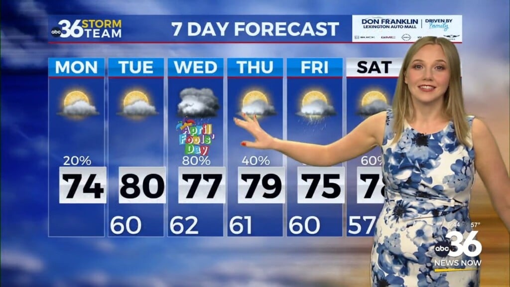
Beyond Monday, the story is all about the heat. Tuesday and Wednesday look to be the hottest days of the work week, with temperatures making a run for the low 90s. All of the heat will be caused by a large ridge of high pressure anchored near Texas.
 By the time we get to next weekend, much cooler air will arrive, with high temperatures returning to normal or even a few degrees below normal.
ABC 36 HOUR FORECAST
SATURDAY NIGHT: Mostly clear. Lows in the low-60s
SUNDAY: Mostly sunny and warm. Highs in the mid-80s.
SUNDAY NIGHT: Partly cloudy with a slight chance of showers. Lows in the mid-60s.


