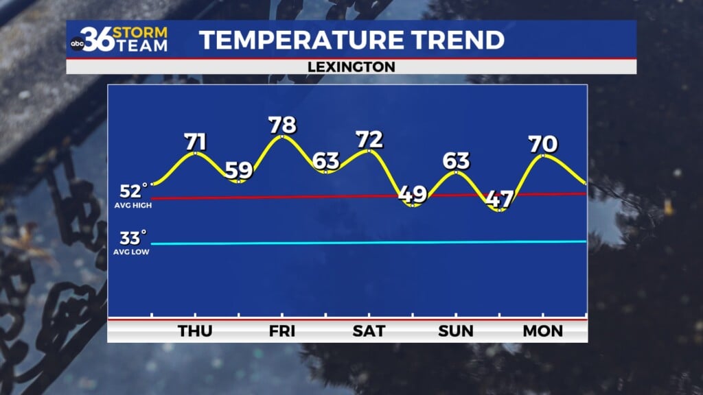
The repeat forecast continues for Friday and into the weekend
A lovely end to the work week
Friday is finally here, with little change in the day-to-day forecast. A mild start of the day followed by a warm afternoon is still the main story. However, we may see some cloud cover for a few of us through the early afternoon, keeping temperatures a few degrees cooler. This will mainly be towards the SW. Most to the north and east will still see mostly sunny skies with only a few clouds through the day. By late afternoon, all of us should be mostly sunny, and temperatures will reach the low-mid 80s. Overall, it’s a great opening day for the Keeneland fall meet!
Our first October weekend looks more like summer
The warm temperatures will continue into Saturday and Sunday. Both days will be mostly sunny with temperatures reaching the mid-80s. Even though the lack of rain has been a bummer for people’s yards, it’s great for anyone wanting to do some fall outdoor activities, such as heading to the pumpkin patch or apple orchard, as there will likely be very little mud in these areas. Especially compared to last weekend. UV index will be at medium levels, near 6, so sunscreen is still needed. Sunglasses will be helpful, as well as bug spray and your water bottle!
Fall-like temperatures could return, but so will rain
It’s looking more and more likely that a cold front will be moving through towards the beginning/middle of next week. This is expected to bring a drop in temperatures as well as some potential rainfall. This could still change of course, but for now we’ll expect more fall-like temperatures and some beneficial rainfall.


