Temperatures return to the 60s Tuesday afternoon
A mild afternoon following a chilly start
Tuesday morning was quite cool, with many in the low to mid 30s. Patchy fog and frost impacted the early morning, but by late morning, these are no longer issues. Skies will be mostly sunny throughout the day with afternoon high temperatures in the low 60s. A light southern breeze will have us feeling nice and fall-like.
Warmer on Wednesday before a brief cooldown
Temperatures on Wednesday will warm to the upper 60s and possibly lower 70s. We’ll see partly cloudy skies. A weak cold front moves through overnight into Thursday, dropping temperatures slightly into the mid-60s. Thursday will be mostly sunny as high pressure builds in. It will be a great couple of days to get outside to enjoy the fall weather, or maybe take care of cleaning up the yard.
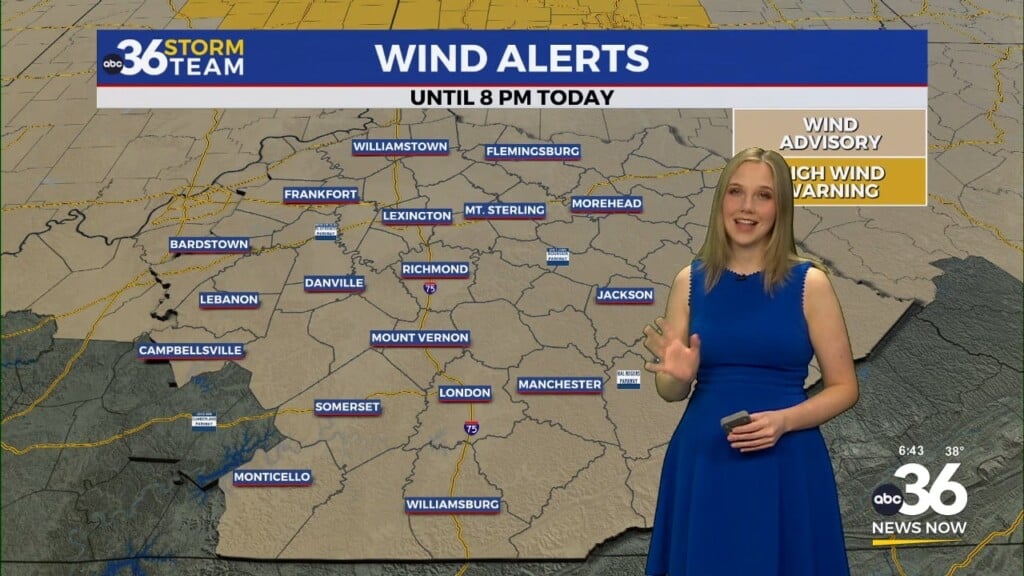
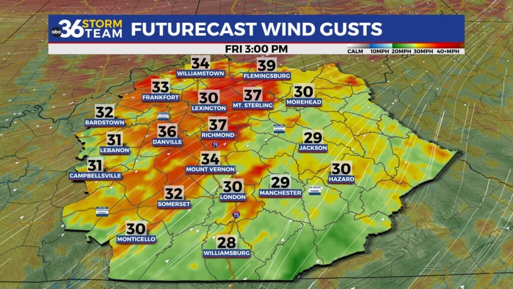
Active end-of-week weather
Ahead of a cold front on Friday, winds will become breezy out of the south. This will bring in moisture and warm air, causing mostly cloudy skies during the day and temperatures in the upper 60s. Thursday evening is when the cool front is expected to pass through, with rain chances ahead. There may even be a few 4rumbles of thunder and some pockets of heavy downpours with gusty winds. This may linger overnight and briefs into Saturday morning. Most of the day Saturday looks dry and good to go for UK gameday. There may be some isolated showers that pop up on Sunday.