Temperature rollercoaster continues for the week ahead
Big swings in our temperatures are expected this week, with warm air being replaced by another cool down thanks to a strong cold front
As expected, Sunday morning started very cold. Temperatures around the Bluegrass bottomed out in the low 30s, with several outlying locations slipping into the 20s.
Sunday night will be cold again, but likely not as cold as this morning. Expect temperatures to fall into the mid-30s for most, with a few readings in the upper 20s to low 30s in wind shelter areas.
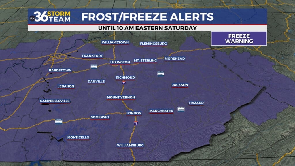
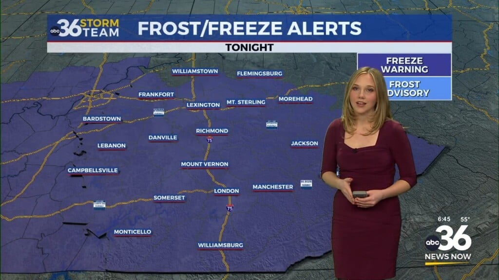
While the growing season is quickly ending, a Frost Advisory will still go into effect late tonight through Monday morning. A killing frost remains possible.
The big weather headline over the next couple of days will be the return of warm weather thanks to southwest flow and the eventual chance of showers and thunderstorms.
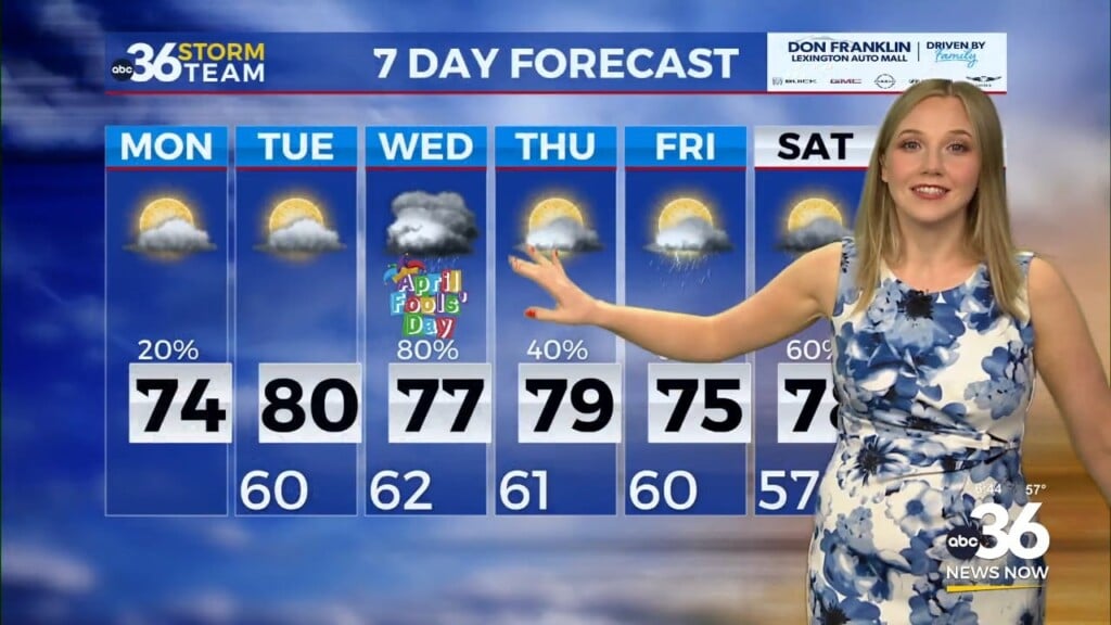
Monday and Tuesday will be beautiful, with abundant sunshine and highs in the low to mid 70s.
On Wednesday, clouds will begin as an area of low pressure and cold front begin to approach from the west. Despite the cloud cover, temperatures shouldn’t have an issue climbing to near 80 thanks to wind gusts 20-30 mph out of the southwest. A stray shower or thunderstorm is possible Wednesday afternoon as moisture begins to return, but most should stay dry.
The primary chance of rain will come along a broken line of showers and thunderstorms Wednesday night into Thursday morning. A few storms may be gusty. However, widespread severe weather is unlikely. The rain should move out by mid-morning on Thursday, leaving us with slightly cooler air.
ABC 36 HOUR FORECAST
SUNDAY NIGHT: Clear and cold. Lows in the low to mid-30s.
MONDAY: Warming up with plenty of sunshine. Highs in low-70s.
MONDAY NIGHT: Mostly clear skies. Lows in the low to mid-40s.


