Strong-to-severe storms possible for some Tuesday
Southeast Kentucky has an increased risk for strong-to-severe storms
Another muggy day is on the way for Tuesday ahead of a weak cold front pushing through the region. This front won’t drastically drop temperatures but it will increase the risk for strong-to-severe storms for some areas. Southeast Kentucky has a Level 2 Severe Risk, with damaging wind gusts and isolated flash flooding as the main threats.
The front will dropping into our viewing area during the late morning and early afternoon. Areas north of I-64 likely won’t be seeing much action from this system, as storms won’t start to really fire up until the front moves to the south. Once the afternoon rolls around storms will begin to develop from Lexington to the south and east. As the system drops further south and eastward more storms will continue to develop into the evening hours. The greatest risk for severe storms will be south of the Mountain Parkway during the mid-afternoon through the early evening. Isolated flash flooding is possible where storms are most persistent. If you live in a low-lying area in the mountains of eastern Kentucky, be alert for possible high water concerns.
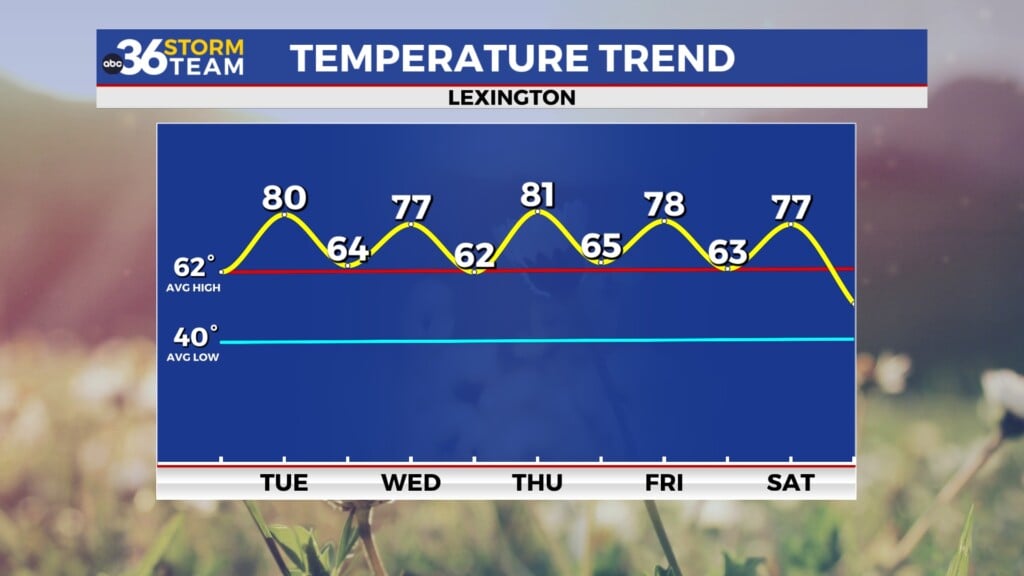
These storms will exit southeast Kentucky during the overnight hours, giving way to calm conditions by Wednesday morning. Conditions will be very nice from Wednesday through the end of the week. Temperatures will be near-average, and the humidity won’t be very high. The best weather day will likely be on Friday, where temperatures will struggle to reach the mid-80’s and humidity will be low.
ABC 36 HOUR FORECAST
TUESDAY: Partly cloudy with afternoon showers and storms for southeast Kentucky. Highs in the upper 80s.
TUESDAY NIGHT: Showers and storms exit, turning mostly clear. Lows in the mid-60s.
WEDNESDAY: Mostly sunny and seasonable. Highs in the mid-to-upper 80s.


