Spring-like warmth this week ahead of a strong weekend system
Meteorologist Dillon Gaudet has the latest in your full ABC 36 Storm Team forecast
LEXINGTON, Ky. (ABC 36 NEWS NOW) – After a chilly start to Monday morning, a stretch of spring-like warmth will settle into the region this week. Dry conditions and increasing sunshine will lead to a steady warming trend, with temperatures climbing into the mid-60s Monday afternoon. By Tuesday, highs will reach the low 70s, and many areas could push into the mid-70s by Wednesday, thanks to a persistent southwesterly breeze.
Midweek Outlook: Warm and Dry Conditions Hold
The weather pattern through midweek remains quiet and mild. Dry air will dominate, leading to relatively low humidity and elevated fire weather concerns, particularly on Tuesday and Wednesday when winds will pick up. Highs each day will generally range from the low to mid-70s, with some areas potentially pushing toward the upper 70s by Thursday. While a weak cold front will approach the region late Tuesday into early Wednesday, it is expected to stall and retreat north, having little impact on temperatures.
Late-Week Changes: Increasing Rain and Storm Chances
Thursday will bring a slight chance for an isolated shower or storm as a weak disturbance moves through the Tennessee Valley. However, moisture will be limited, so any rainfall is expected to be light and scattered. The real weather-maker of the week arrives Friday into the weekend as a potent storm system develops across the central U.S.
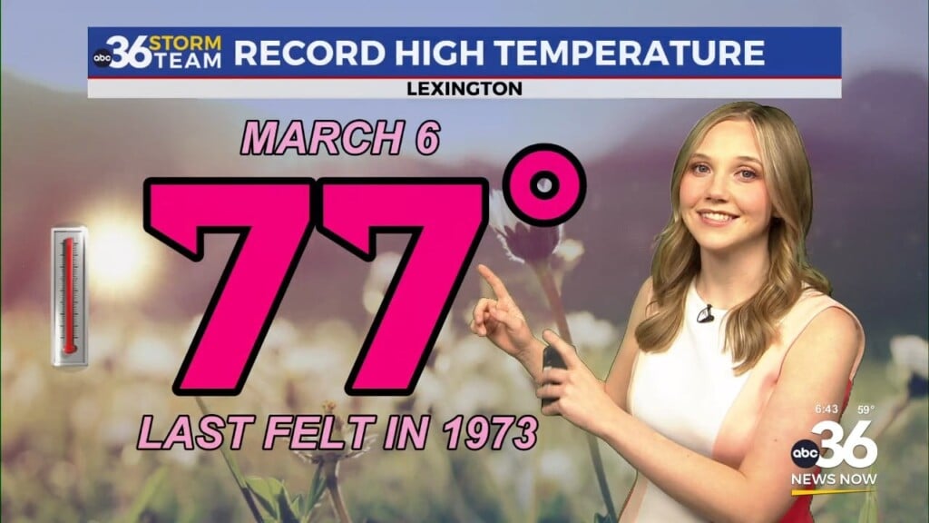
By Friday, gusty southwesterly winds will increase ahead of a strong low-pressure system tracking across the central Plains. This setup will send temperatures soaring into the upper 70s to near 80 degrees—potentially near record highs for mid-March. Winds could gust over 30 mph at times as the pressure gradient tightens.
Weekend Storm Threat: Severe Weather and Heavy Rain Possible
Confidence is increasing in a significant storm system impacting the region late Friday night through Saturday night. The Storm Prediction Center has placed all of central and eastern Kentucky under a Level 2 (15%) risk for severe weather during this time frame. Strong-to-severe storms, heavy rain, and gusty winds outside of thunderstorms are all possible.
The exact timing and severity of storms remain uncertain, but forecast models suggest an initial round of rain and storms arriving Friday night, followed by a more intense line of storms later Saturday into Saturday night. If storms can organize, damaging winds would be the primary threat, but isolated tornadoes and large hail cannot be ruled out.
In addition to the severe weather risk, heavy rainfall is expected. A widespread 1 to 3 inches of rain is likely from Friday night through Sunday morning, with locally higher amounts of 2 to 4 inches possible where storms train over the same areas. While flooding is not a major concern at this time, areas that receive higher-end rainfall totals could experience localized flooding, particularly in low-lying and poor drainage areas.
Turning Cooler for St. Patrick’s Day
As the system exits Sunday, temperatures will drop, bringing a cooler and breezy end to the weekend. Highs Sunday will likely fall into the upper 50s, with continued cooling into St. Patrick’s Day on Monday.
Stay with the ABC 36 Storm Team for more updates.