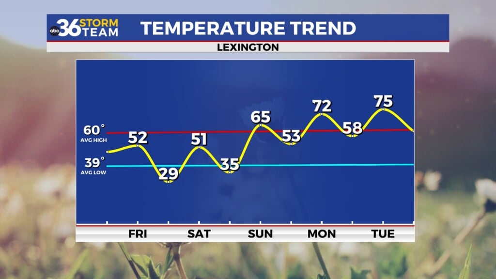
Some improvement on the way Tuesday
Afternoon highs return to the 60s with drier conditions expected
LEXINGTON, Ky. (ABC 36 NEWS NOW) – After a soggy start to the month, we’re finally catching a break across central and eastern Kentucky. For your Tuesday, expect a noticeable improvement in conditions—especially if you’ve been itching to get outside or catch up on yardwork. While we can’t rule out a stray sprinkle or two, most of us will enjoy a dry and brighter day overall.
Clouds will gradually give way to more sunshine through the afternoon, with high temperatures rebounding nicely into the mid-to-upper 60s. Light winds and drier air filtering in behind Monday’s departing low will help things feel more seasonable. Just keep an eye out early this morning for patchy fog, especially in the valleys, which should mix out shortly after sunrise.
Wednesday kicks off on a cooler note with morning lows dipping into the upper 40s and low 50s, but expect a pleasant rebound into the low 70s by the afternoon. Skies will start mostly sunny before cloud cover builds late in the day ahead of our next weather system.
That next system arrives late Wednesday night into Thursday, bringing our next round of showers—and a few rumbles of thunder are also possible. At this point, we’re not expecting anything widespread or severe. Showers will be more scattered in nature, with garden-variety storms possible during the afternoon. Thursday’s highs should still manage to reach the low to mid 70s before a cold front sweeps through the region.
Behind that front, we’ll turn cooler again for Friday. Afternoon highs will drop back into the 60s, and overnight lows will settle into the 40s both Thursday night and Friday night. A spotty shower can’t be ruled out near the Kentucky-Tennessee border on Friday, but most locations should stay dry.
Looking ahead to the weekend, signs are pointing toward improvement just in time for Mother’s Day. We’re cautiously optimistic about a stretch of drier and milder weather, with partly to mostly sunny skies and highs returning to the 70s.


