Rain showers clearing out as fog sets in
Meteorologist Jordan Smith has a look at your Saturday New Years Eve forecast!
Lexington, Kentucky: Good Saturday evening everyone and Happy New Years Eve. It has been a rainy Saturday across central and eastern, but temperatures have been in the upper 50s to low 60s so at least it hasn’t been too cold. I know a lot of you will be heading to New Years parties and festivities tonight so here is a breakdown of what to expect. Between 6pm-10pm rain showers will continue to be around across the area, but they start to diminish later on. Here is a snap shot at our future radar for 10:00pm tonight and it shows only a stray shower hanging out with temperatures into the low to mid 50s across all of central and eastern Kentucky.
This next snap shot is of 1:00am as the parties are winding down and people are starting to head home. You can see most of the rain will have moved out but some clouds will be remaining with temperatures dropping into the upper 40s to low 50s. What this model doesn’t show is fog, which I think could be pretty thick in areas across central and eastern Kentucky.
As you head home tonight, it is important to be safe and be smart. Here are a few things to keep in mind as you head out from your parties or festivities.
The first day of 2023 on Sunday looks pretty great with a mix of sun and clouds and high temperatures in the low to maybe even mid 60s. My advice is to get out and enjoy it. Most of Monday looks good too with high temperatures into the low to mid 60s under a partly sunny sky. Clouds will thicken up as the day goes on with rain showers moving in late in the day.
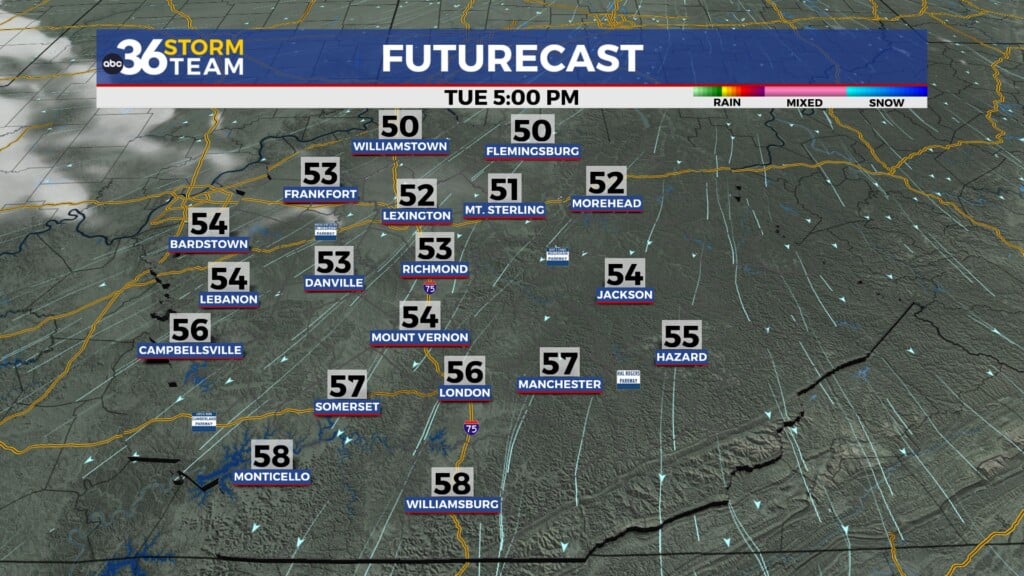
Then we focus our attention to Tuesday when we look to be dealing with heavy rain and strong storms. Rain will be scattered across the area for the first part of the day as we track a line of strong storms moving through western Kentucky. The future cast shows that at 11:00am.
If we advance that on to 4:00pm on Tuesday we can see the line of heavy rain and storms moving into central and southern Kentucky before continuing to push off to the east.
I think the greatest instability for severe weather will stay to our west and southwest at this time, but I still expect heavy rain that could lead to flash flooding, thunder, lightning, and gusty winds for us here in central and eastern Kentucky. Keep checking back with the ABC36 Storm Team for the latest information as we continue to get closer.
SATURDAY NIGHT: Rain showers exit eastern Kentucky with fog becoming possible. Temperatures in the mid 40s.
NEW YEAR’S DAY: A mix of sun and clouds with high temperatures in the low 60s.
NEW YEAR’S DAY NIGHT: Slow clearing cool. Lows in the upper 40s.


