Pleasant conditions return to the start the week
Meteorologist Dillon Gaudet has the latest in your full ABC 36 Storm Team forecast
LEXINGTON, Ky. (WTVQ) – Happy Monday and Presidents’ Day! We are tracking cold temperatures early today but afternoon highs will be pushing the upper 40s and low 50s. Tonight temperatures will drop below freezing once again thanks to mostly clear skies and light winds. Temperatures will warm up even further on Tuesday, into the mid-50s for most. Wednesday will feature the warmest temperatures all week with highs reaching the low 60s thanks to a stout southwesterly breeze.
This mild stretch will lead to rain late Wednesday night into Thursday. Scattered-to-widespread rain will be in the forecast for all of central and eastern Kentucky. Isolated storms will be possible within the rain showers, though severe weather isn’t expected. We also aren’t expecting widespread flooding concerns but localized flooding will be possible in low-lying and flood-prone areas. Up to an inch of rain is in the forecast, with locally higher amounts possible within the storms that move through. Showers will exit by Friday morning with a few early morning showers possible in eastern Kentucky on Friday.
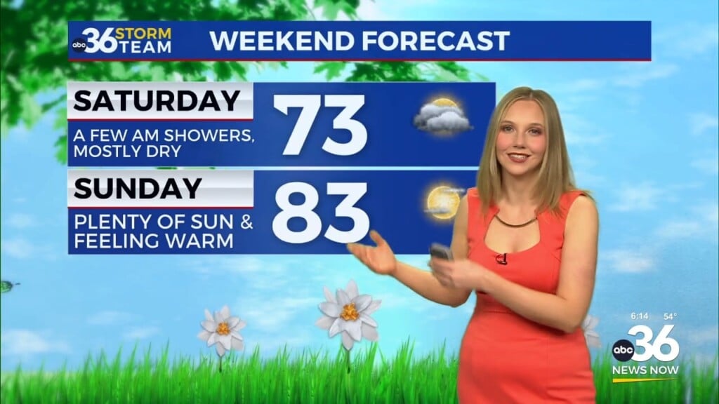
The weekend is looking mainly quiet but eyes are on another, stronger system moving in early next week.
Stay with the ABC 36 Storm Team for more updates.
ABC 36 HOUR FORECAST
MONDAY (PRESIDENTS’ DAY): Cold start, mostly sunny skies. Highs in the upper 40s and low 50s.
MONDAY NIGHT: Mostly clear skies. Lows in the upper 20s.
TUESDAY: Partly cloudy & pleasant. Highs in the mid-50s.