More than 10 tornadoes now confirmed in Kentucky from Tuesday’s storms
Stay with the ABC 36 Weather Team for more updates
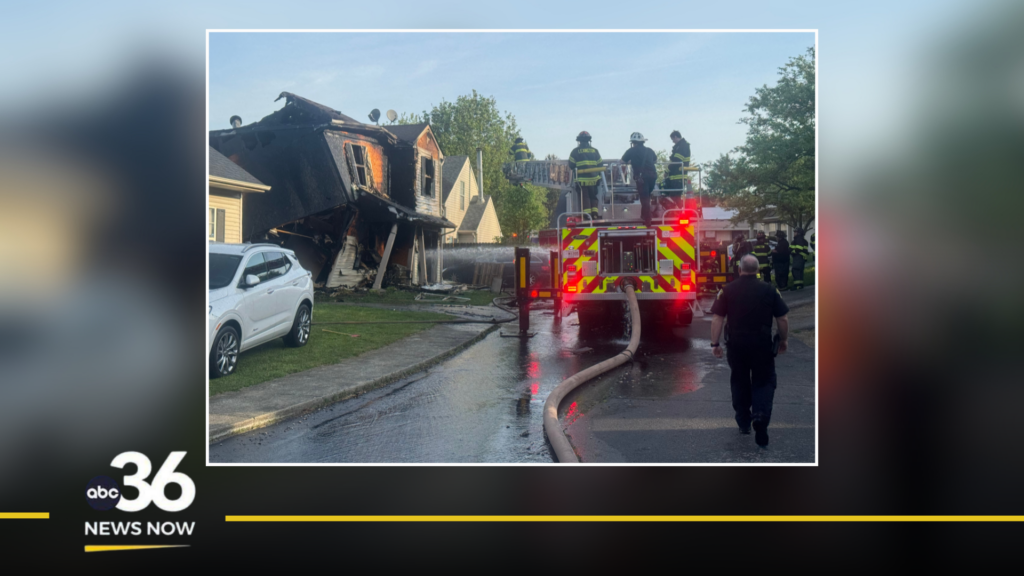
LEXINGTON, Ky. (WTVQ) – The National Weather Service has now confirmed 11 tornadoes across Kentucky from the storms on Tuesday. Locally, tornadoes touched down in Anderson, Bourbon, Clark, and Jessamine counties. The Bourbon and Clark county damage may be the result of the same tornado, the National Weather Service office in Louisville will be continuing the damage assessment on Thursday.
The strongest tornado locally was a 110 mph EF-1 tornado in Jessamine County at the Industrial Park.
The strongest tornado confirmed in Kentucky was in Boyd County. The Charleston, West Virginia National Weather Service office says an EF-2 tornado with 120 mph winds struck near the Cannonsburg area of Boyd County. This was one of two tornadoes confirmed in Boyd County.
You can expect some changes to the total tornado count as the area National Weather Service offices continue their assessments. The Jackson NWS office will be traveling to the south Corbin area of Whitley County to survey damage there on Thursday. Drone video shows extensive damage done to the Frankfort School Rd & Bee Creek Rd area of Whitley County.
The ABC 36 Weather Team will continue to keep you updated on any changes. If you have any damage reports near you, you can email photos to weather@wtvq.com.


