Our “Spring-Like” Feel Continues Wednesday
Plenty of sunshine warmed us back to the mid-60s today. 64 Lexington. Frankfort 67. Tomorrow could be warmer yet. The rain-free stretch still looks to take us into the weekend. Southwest winds will warm us further. With those winds, more moisture makes its way in.
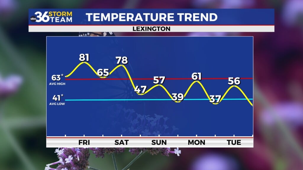
Tonight: Clear with a low of 38.
Wednesday: Sunny and a high of 68.
Thursday: Mostly sunny and a high of 55.
Friday: Partly sunny and a high of 60.
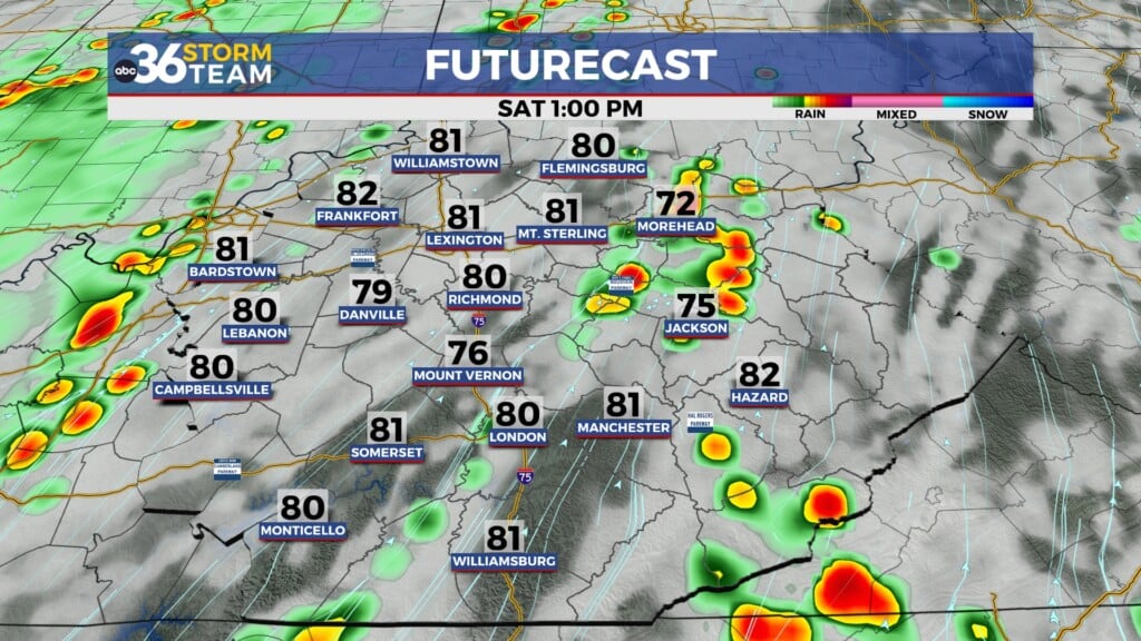
Saturday: Partly sunny. Rain moves in at night. A 70% chance. Saturday’s high 68.
Sunday: Showers likely and a high of 71. Rain chance 70%.
Monday: A 70% chance of showers. A high of 65
Tuesday: Cooler behind the stronger front. A high of 55.
*Today in weather history
Lexington set a record of 73 in 1976. In 1997, Lexington saw 5.6″ of rain. 1980 saw 4.0″ of snow. Eastern Kentucky saw a pretty strong thunderstorm outbreak on this date in 1997.
1980 – Norfolk, VA, received 13.7 inches of snow to push their season total to a record 41.9 inches exceeding their previous record by more than four inches. (David Ludlum)
1980 – An unusually large Florida tornado, 500 yards in width at times, killed one person and caused six million dollars damage near Fort Lauderdale. (The Weather Channel)
1983 – A ferocious storm battered the Pacific coast. The storm produced heavy rain and gale-force winds resulting in flooding and beach erosion, and in the mountains produced up to seven feet of snow in five days. (The Weather Channel)
1987 – A storm crossing the Great Lakes Region produced heavy snow and gale-force winds from Wisconsin to northern New England, with eight inches of snow reported at Ironwood MI. (The National Weather Summary)
1988 – Thunderstorms produced large hail and damaging winds in north-central Texas. Baseball size hail was reported at Lake Kickapoo. Hail fell continuously for thirty minutes in the Iowa Park area of Wichita Falls. (The National Weather Summary) (Storm Data)


Leave a Reply