Muggy conditions fueling showers & storms into the weekend
After a dry start to Friday rain chances increase during the afternoon hours
LEXINGTON, Ky. (ABC 36 NEWS NOW) – After a fairly quiet and muggy start to our Friday across central and eastern Kentucky, rain and storm chances will ramp up this afternoon. Temperatures will climb into the low to mid 80s, but it will feel even warmer than that with tropical moisture surging into the region. Dewpoints are pushing into the upper 60s to near 70, making it feel very humid and uncomfortable outdoors.
This tropical moisture is part of a larger pattern that will stick with us through the weekend and into next week. It’s what’s fueling these increasing rain chances—and what’s responsible for that soupy air you’ll definitely notice today and beyond.
For today, scattered showers and thunderstorms are expected to develop during the afternoon and evening. While we are not under a formal severe weather threat at this time, a few stronger storms can’t be ruled out. The primary concern with any storm that becomes stronger would be gusty winds. We’ll continue to monitor radar trends, and it’s possible that the Storm Prediction Center could introduce a Level 1 (Marginal) Severe Risk if trends support it.
Rain chances taper off later tonight, but we’re not done yet. Off-and-on showers and storms will remain in the forecast throughout the weekend. It’s important to note: it will not be raining all day either Saturday or Sunday. However, you should be prepared for scattered activity—especially in the afternoon and evening hours. That tropical air mass in place means any storm could produce heavy rainfall in a short amount of time. If you live in a low-lying or flood-prone area, be weather aware in case repeated storms pass through the same area.
Temperatures over the weekend will remain in the low to mid 80s, and it’ll still feel very humid with that tropical moisture sticking around.
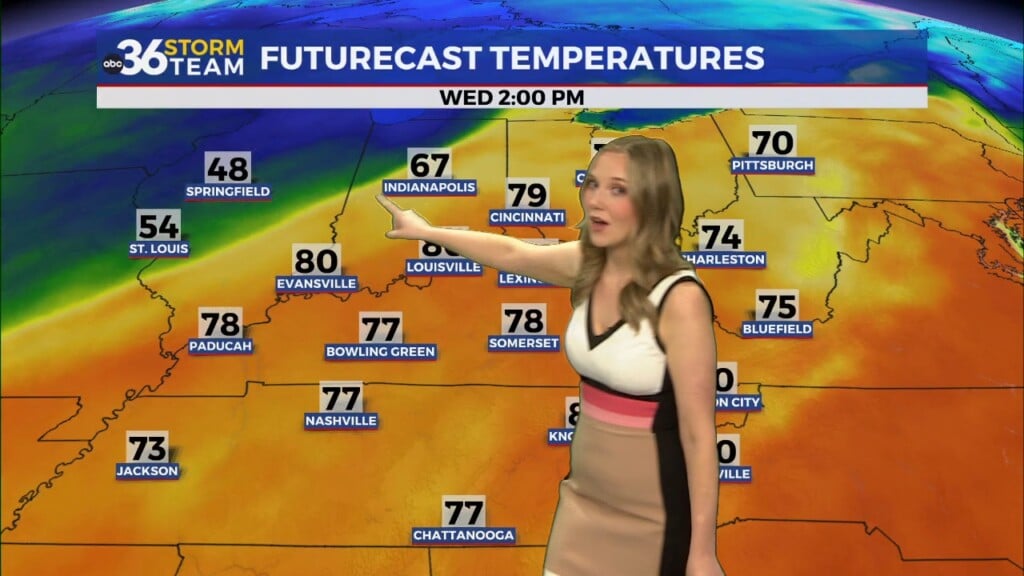
Heading into next week, we don’t see much change initially. Daily, scattered storm chances will continue, especially during the afternoon hours. A more organized round of storms could arrive later in the week—possibly by Wednesday or Thursday. That’s something we’ll be watching closely as the forecast evolves.


