More Clouds, but Continued Warm
Chief Meteorologist Jeff Andrews Looks at Rain Chances
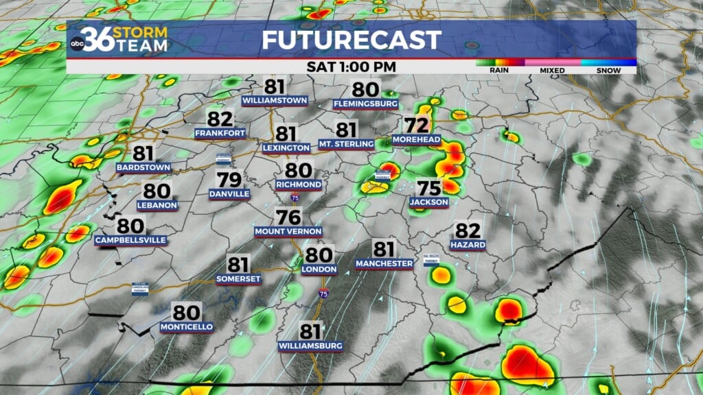
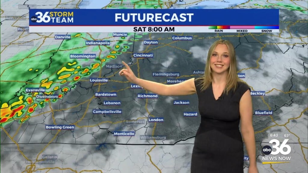
We had another nice day, even warmer. Highs in the upper-60s-low-70s. We will generally see more clouds tomorrow, and far southern and southeastern Kentucky could see light rain early and in the afternoon.
Tonight: winds light from the south-east. Under mainly clear skies, a low of 43.
Wednesday: Partly sunny but more PM clouds. A 30% chance of light rain pre-dawn along the Kentucky-Tennesee state line. Light rain chances in the afternoon for eastern and southeastern Kentucky. A high of 65.
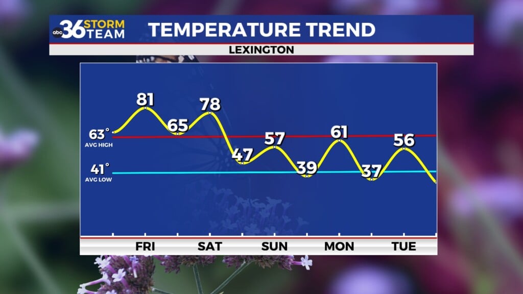
Thursday- Mostly sunny for St. Patrick’s Day and a high near 72
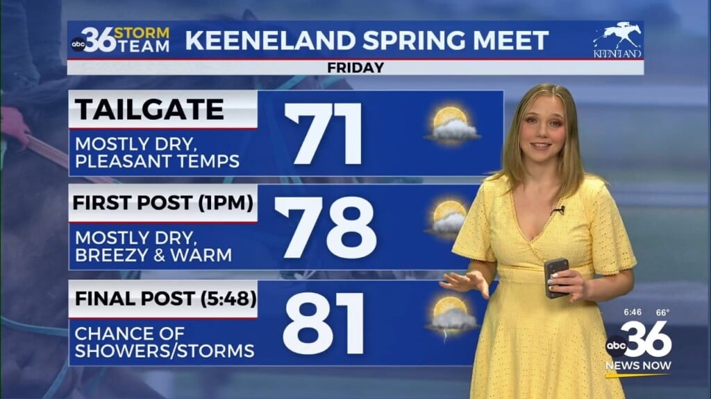
Friday- partly sunny with a 90% chance of scattered showers. A high of 66
Saturday: Mostly cloudy becoming partly cloudy and a cooler high of 55.
Sunday: Mostly sunny and a high of 64
Monday: Partly cloudy and a high of 69.
Tuesday: a 40% chance of showers. Partly sunny and a high of 66.
*Today in weather history:
81 in 1944 for a record high in Lexington. 11 was a record-low in 1993 for Lexington. In 1982, severe thunderstorms rolled across eastern Kentucky. Golf-ball-sized hail in Rockcastle, Perry, and Floyd County. Flooding in Morgan county.
1989 – Afternoon and evening thunderstorms produced severe weather from Alabama to the Middle Atlantic Coast. Thunderstorm winds gusted to 80 at Virginia Beach VA. Low pressure in southeastern Ontario produced high winds in the northeastern U.S. Winds gusted to 70 mph at Saint Albins VT. (The National Weather Summary) (Storm Data)
1990 – Low pressure crossing the Upper Mississippi Valley produced high winds from the Northern and Central Plains to the Great Lakes Region and Ohio Valley. Winds gusted to 73 mph at Iowa City IA, and wind gusts reached 79 mph at Waukesha WI. Winds of 75 mph were reported around Rapid City SD, with gusts to 100 mph. Up to a foot of snow was reported in western Iowa, western Minnesota, and extreme eastern North Dakota. Blizzard conditions were reported in northeastern North Dakota and northwestern Minnesota. (The National Weather Summary) (Storm Data)


