Mild Temperatures Ahead, Along With Damaging Winds
A WIND ADVISORY goes in place 7 am-7 pm Wednesday. Thursday may have an advisory as well. South winds will warm us into the 60s Wednesday. Thursday will feel like a tropical storm for us. Windy and rainy. Friday will feel like the Arctic (not exactly, but cold). We rebound temperature-wise this weekend.
Tonight- our winds will increase. We will see more cloud cover. A mild low of 40. South winds 5-15.
Wednesday- Partly-mostly cloudy and windy. A WIND ADVISORY will be in place 7 am-7 pm for most of the area. South winds 15-25 mph with gusts 30-45 mph (maybe higher PM). Wednesday’s high 64.
Thursday- cloudy with rain moving in, primarily in the PM. Heavy at times. Isolated thunderstorms are possible too. Rain chance 100%. An inch + of rain is expected. We will peak near 64 again. Winds south 15-20 gusting to near 45 mph.
Thursday night- rain winds down, leftover moisture behind the cold front likely yielding some light snow.
The temperatures will drop significantly overnight. A low of 26.
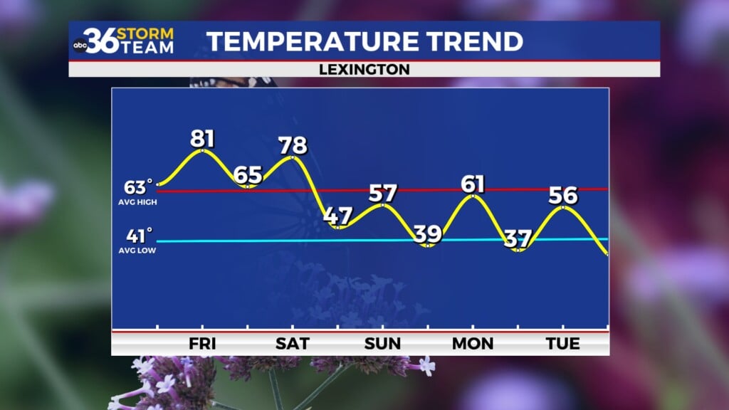
Friday- we will end up with sunshine but we will be cold. A high of 37.
Saturday- Mostly sunny and milder. A high of 45.
Sunday- Nice. Mostly sunny and a high of 58
President’s Day- Mostly sunny. A 20% chance of showers. A high of 63.
Tuesday- A 40% chance of showers, and a high of 64
*Today in weather history
last year at this time, 150,000 customers lost power from an ice storm in eastern Kentucky. Plenty of trees were down and many roads impassable. The system ran from the 15th into the 16th. Lexington set a record high of 76 in 1945. Lexington saw 2.8″ of rain on this date in 1989. 5″ of snow in 2010.


Leave a Reply