Localized heavy rain on Tuesday ahead of stronger storms late Wednesday
A Flood Watch is in effect for parts of eastern Kentucky through 10 PM Tuesday
LEXINGTON, Ky. (ABC 36 NEWS NOW) – It’s another sticky summer day across central and eastern Kentucky, and once again, scattered storms are back in the forecast. Today won’t be a total washout, but intermittent downpours are likely to pop up through the afternoon and early evening. The primary concern continues to be localized flash flooding, especially in areas that have seen repeated rainfall over the last few days.
A Flood Watch remains in effect through 10 PM for eastern Kentucky, where soils are already saturated. When the ground can’t soak up any more water, even a quick burst of rain can lead to street flooding or rising creeks and streams. Storms today will be unorganized and slow-moving, meaning any spot hit by one of the heavier downpours could quickly run into trouble.
Outside of the storms, expect it to feel very muggy and warm, with highs in the low 80s but dew points well into the 70s. That will keep it feeling swampy throughout the day and even into the evening hours.
Looking Ahead: More Storms, Then Summer Heat
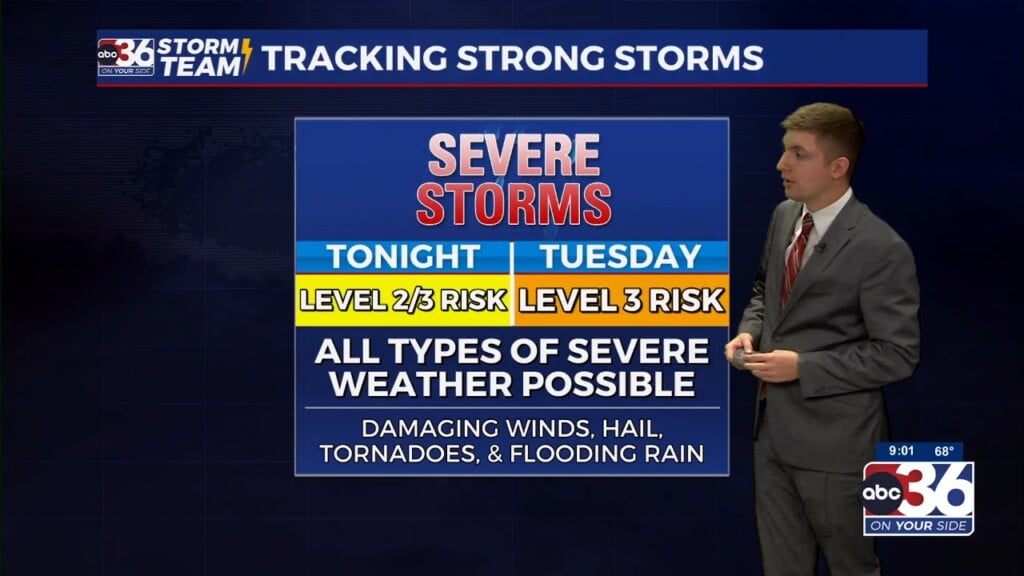
Wednesday brings another warm and humid day, with most of the daylight hours expected to stay dry. However, we’re watching the potential for a more organized round of storms late Wednesday into early Thursday. The Storm Prediction Center already has a Level 2 out of 5 severe risk in place for areas north and west of Frankfort, with a Level 1 risk covering the rest of our region.
The exact timing is still a bit uncertain, but the evening hours Wednesday into early Thursday look to be the primary window for any strong to severe storms. Damaging winds would be the main threat, though a brief spin-up tornado or hail can’t be ruled out. We’ll be keeping a close watch on how this evolves.
By Thursday, a cold front begins to swing through, bringing additional showers and storms during the day. The severe threat looks lower across eastern Kentucky, but with continued moisture in place, locally heavy rainfall will still be something to watch.
Friday Brings Relief, Then the Heat is On
Behind Thursday’s front, drier and slightly cooler air filters in for Friday. It’ll still be warm, with highs in the mid to upper 80s, but the lower humidity will make it feel more comfortable.
That break won’t last long. A major warm-up arrives this weekend, and it’ll feel like the heart of summer by Sunday. Highs will soar into the low 90s, and when you add in the humidity, heat indices could climb well into the upper 90s. Stay tuned as we get closer to determine if any Heat Advisories will be needed early next week.


