Hot Start to the Work Week
Today is a scorcher in the Bluegrass. Temperatures in the mid to upper 90’s coupled with dew points near 70, Lexington feels like 104 this afternoon. We won’t get much of a cool down tonight, as overnight low’s expected in the low to mid 70’s.

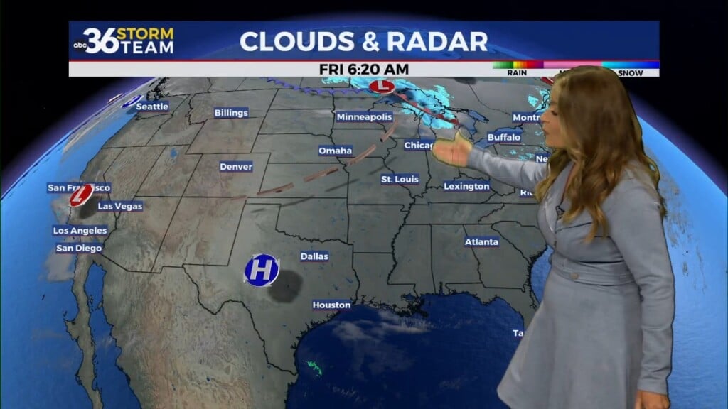
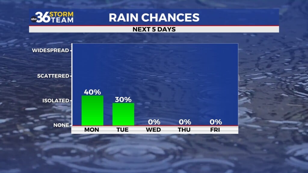
Tuesday will be a steamy day as well with temperatures climbing back to the mid 90’s and the feels-like temps returning to the triple digits in many areas. An approaching cold front will bring our next storm chances Tuesday evening along with a level 1 risk for heavy rain and gusty winds. Much of central Kentucky is also under a slight risk for flash flooding Tuesday night into Wednesday.

Wednesday will be our best chance for rain this week, as the cold front sweeps across the state. Not a whole lot expected in the way of accumulation with this system, but with several counties in the ABC 36 viewing area in the dry category on the drought monitor, we will take what we can get.

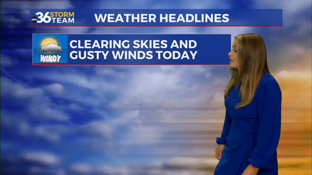
Below average high temperatures (in the low 80’s) follow this front on Thursday along with a small chance for rain each day through Monday.