Hot and very humid conditions continue
Afternoon highs will climb into the low-to-mid 90s on Monday
LEXINGTON, Ky. (ABC 36 NEWS NOW) – It’s the kind of weather you expect in the middle of July, not June but here we are. A persistent ridge of high pressure remains anchored over the region, keeping central and eastern Kentucky locked into a hot and very humid weather pattern that will continue through at least Wednesday.
A Heat Advisory remains in effect for parts of the region, mainly across the northern half of our area. While some spots may fall just short of the technical threshold for an advisory (a heat index of 105° or higher sustained for 2 to 3 hours), the National Weather Service has issued this advisory early in the season to raise awareness. Many of us simply aren’t acclimated yet to this level of prolonged heat and humidity, and it can have serious health impacts—especially for heat-sensitive groups, those without air conditioning, or anyone working or exercising outside.
Forecast Highlights:
-
Monday: Expect highs in the low to mid 90s this afternoon. With dew points well into the 70s, the heat index will climb into the low 100s for many. A few isolated pop-up showers or storms could develop in the afternoon, especially in southern and eastern Kentucky, but most locations will stay dry.
-
Tuesday & Wednesday: The hot and muggy conditions continue. Daily highs will remain in the low to mid 90s, with afternoon heat index values again hovering around 100° to 105°. Isolated afternoon storms will be possible both days, mainly terrain-driven and highly localized. Overnight lows will remain warm and sticky, generally in the 70s.
-
Thursday into Friday: We may see a very slight break in the intensity of the heat, but temperatures will still run well above average. Isolated storms are possible each afternoon, though most of us will stay dry through the workweek.
-
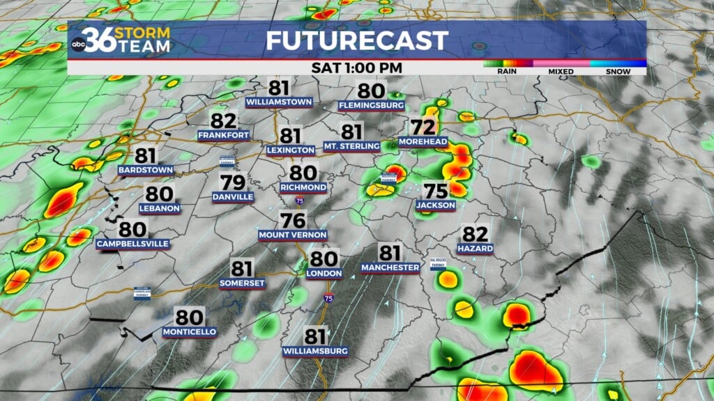
Weekend Outlook: More widespread rain and storm chances return Saturday and Sunday as the high-pressure ridge begins to weaken. This may help take the edge off the heat somewhat, but don’t expect a full cooldown. Highs will still reach the upper 80s to near 90°, with humidity remaining high.
Safety Reminder
-
Drink plenty of water
-
Limit outdoor activity during peak heat (2–6 PM)
-
Wear lightweight, light-colored clothing
-
Check on elderly neighbors and pets
While this stretch may not break records just yet, it’s a prolonged period of dangerous heat that shouldn’t be brushed off. Relief is on the horizon—but we’ve still got several more steamy days to get through first.
Stay weather aware and take it slow out there!


