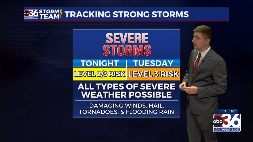
Heavy Rain, A Severe Weather, Threat Still On The Table
Lexington’s rain tally, unofficially, 2.79″. The record for the date, 2.91″. Frankfort 2.41″. Winds are now from the northwest and chilly. Friday will feel like the Arctic (not exactly, but cold). We rebound temperature-wise this weekend.
Tonight- The temperatures will drop significantly tonight. An overnight low of 26.
Friday- we will end up with sunshine but we will be cold. A high of 37.
Saturday- Mostly sunny and a bit better. A high of 43.
Sunday- Nice. Mostly sunny and a high of 58
President’s Day- Partly sunny. A slight chance of rain during the day. A higher chance of PM showers. A high of 63.
Tuesday- An 80% chance of showers, possibly thunderstorms, and a high of 68
Wednesday- Partly-mostly cloudy, a 30% chance of rain.
Thursday- cloudy with a 60% chance of rain, maybe a wintry mix at times. A high of 40.
*Today in weather history
2.91″ of rain for Lexington on this date in 1976. Today’s heavy rain won’t likely eclipse that.
1987 – A couple of winter storms, one off the Atlantic coast and another over the south central U.S., produced snow and ice from the Mississippi Valley to the Mid Atlantic Coast Region. Freezing rain produced a coat of ice three inches thick in northern South Carolina, and 30,000 homes around Pee Dee were left without electricity. Parts of south central Kentucky were without electricity for three days following the storm, which was their worst in 35 years. (The National Weather Summary) (Storm Data)


Leave a Reply