Frigid cold temperatures continue through Christmas weekend
Meteorologist Dillon Gaudet has a look at your holiday weekend forecast
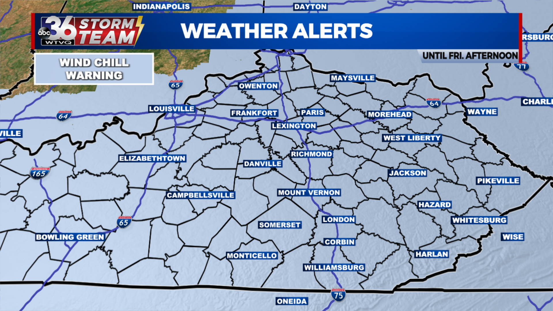
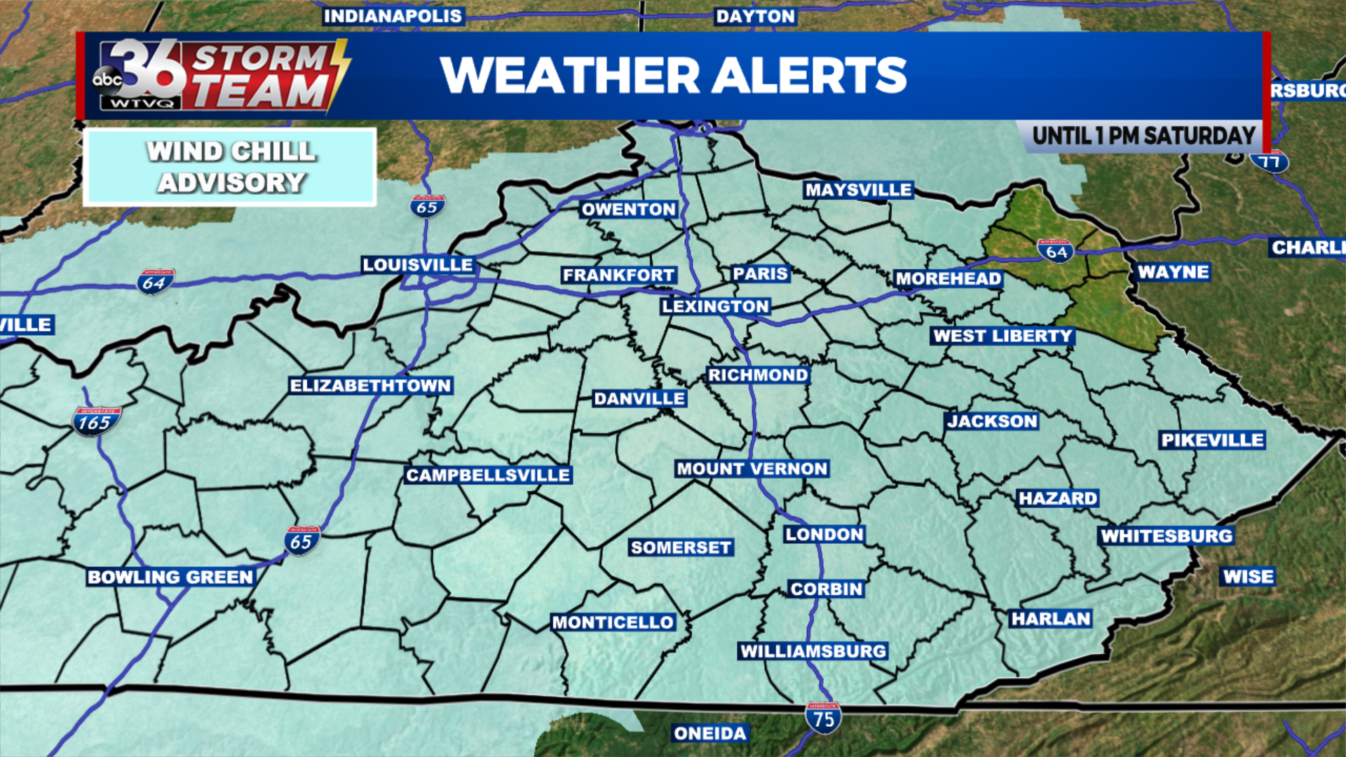
After an arctic cold front pushed through the region overnight, some of the coldest conditions in decades are in place for Friday. Central and Eastern Kentucky remain under a Wind Chill Warning through Friday afternoon. After the Wind Chill Warning expires, a Wind Chill Advisory will be in place through Saturday afternoon. Wind chills as low as -25 to -30° or colder will continue. The last time Lexington reported a wind chill below -30° was in 1994 and we’ve seen that at times this morning. Strong wind gusts are accompanying the bitter cold temperatures leading to the dangerously cold wind chills.
Afternoon temperatures on Friday will struggle to reach the low single digits. Some isolated areas may even stay below zero through most of the day through the overnight. Gusty winds will continue to cause intermittent power outages as well. Make sure you have a safe and warm place to go if you happen to lose power.

1-3 inches of snow fell overnight which is right in line with Chief Meteorologist’s TG Shuck’s snowfall forecast. As we stressed all week, the greatest impacts from this system will be the dangerously cold temperatures and the flash freeze potential. The flash freeze did occur overnight leading to icy conditions region-wide. Though snow totals weren’t overly impressive, roadways were significantly impacted.
Christmas Eve will feature bitter cold conditions once again. Afternoon highs will reach the 10s, while the feels like temperatures will stay below zero. Temperatures will once again slightly improve on Christmas Day. High temperatures will range through the low-to-mid 20s. Next time we reach the freezing mark? That won’t be until Tuesday of next week.
The final week of 2022 will feature a gradual warm-up. Warmer than normal conditions will return by the end of next week where we will likely hit 50 by Thursday.
Stay with the ABC 36 Storm Team for more updates.
ABC 36 HOUR FORECAST
FRIDAY: Bitter cold wind chills, with a few snow showers. Highs in low single digits. Wind gusts as high as 40-50 mph possible.
FRIDAY NIGHT: Bitter cold wind chills, a few snow showers. Lows in below zero.
CHRISTMAS EVE: Mostly cloudy and cold. Highs in the low teens.


