Frigid air and a few snow chances heading our way
Thursday – Friday
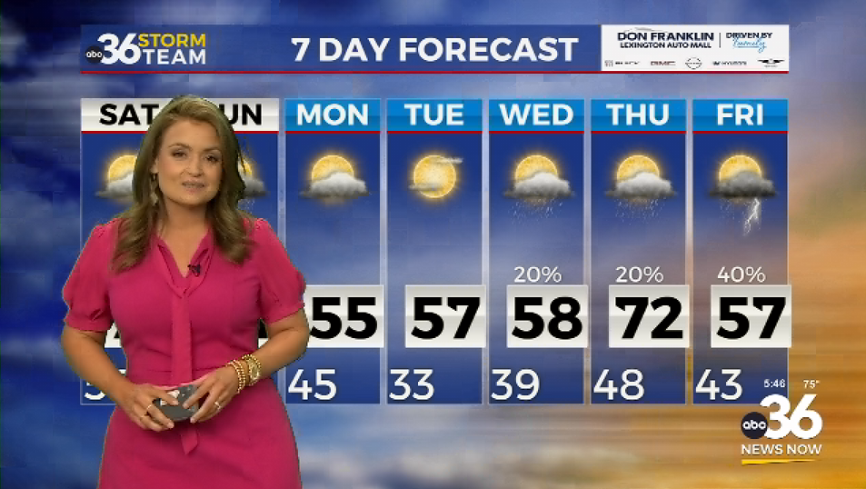
A cold front moved through the Bluegrass overnight and brought in some frigid arctic air. Temperatures started in the upper 20s and will reach the low 30s for the afternoon. A light northern breeze will add even more chill to the air. As this front retreats to the east, it may bring a few flurries in during the afternoon. These will be inconsequential, causing no accumulation or impacts. Thursday night, a larger system passes to our south. It will bring snow showers to Southeastern KY.
The best chance for snow will be south of the Mountain Parkway. A few between the parkway and I-64 may see some flurries. To the south where the most snow is expected, accumulation will likely amount to trace amounts for most and up to 1 inch in isolated areas furthest south. This will likely transition to a wintry mix with some sleet and rain by Friday morning. This may cause a few slick spots on elevated surfaces, meaning caution will be needed for the morning commute. This will clear out by the afternoon. Morning temperatures on Friday may dip to the teens, and the afternoons stay in the low 30s.
Weekend
We’ll be dry but mostly cloudy through Saturday with a cool morning in the low 20s. The Lexington Christmas Parade begins at 11 am, and we’ll likely reach the low 30s by then, meaning layers will be needed. Coats, gloves, and Santa hats are recommended. By the afternoon, we’ll see many reaching the upper 30s. Temperatures will be similar on Sunday.
Through the day Saturday, a system sets up in the Midwest. By Sunday, this system will be making its way through the Bluegrass. The track of the storm will determine what we see here in the Bluegrass. Right now, it looks to move to the north, bringing mostly rain to the commonwealth. If it shifts south, we may see snow or a wintry mix. Either way, this system may not have enough moisture to produce any kind of precipitation at all, so impacts will remain low. Confidence in this system remains on the lower end, as many changes could still occur between now and then.


