Feeling frigid Tuesday morning, but a milder afternoon ahead.
Temperatures swing through Tuesday
The morning starts about 10-15 degrees colder than it was yesterday. By the afternoon, this will flip, and we will be about 10 degrees warmer. This is due to gusty winds out of the southwest, ushering in warm, moist air. Winds may gust up to 25-30 mph, so despite afternoon temperatures reaching the low-40s, we will still likely feel like the mid-30s with our wind chill. Skies will be mostly sunny through the afternoon.
A cold front will move through overnight, bringing in the start of our rain chances. Clouds will move in past midnight, alongside the possibility for isolated drizzle
Wednesday starts off soggy
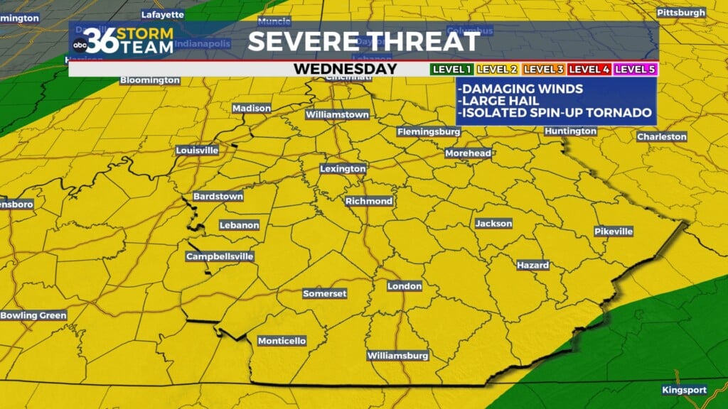
Rain chances increase Wednesday morning, and you might need a rain jacket as you’re heading out the door. Rain chances aren’t all that impressive; we’ll look scattered (40%) through the morning, with another light wave moving in through the afternoon. Overall rainfall amounts shouldn’t exceed 0.50″ through the Bluegrass. Winds will continue to be gusty through the day, so be careful using an umbrella.
We feel the effects of the cold front by Wednesday evening, and temperatures look to drop below freezing by midnight. This means we may see some snow on the back end of the rainfall, lasting through Thursday morning. Any snow that does fall likely won’t stick.
Friday starts to feel cold again, with colder weekend temps
An atmospheric disturbance moves through Friday morning, bringing another chance of snow. As of now, this looks to be mainly in NE KY. This snow could bring light accumulation and minor impacts, but confidence is low. Temperatures will stay cold in the 30s on Friday and Saturday, with another system possibly moving through on Sunday. This would bring us another precipitation chance and some bitterly cold temperatures to end the weekend and start the work week.


