Cold Tonight, But a Warm-Up Is Ahead
Chief Meteorologist Jeff Andrews has a warmer, drier week for you
We had an interesting 24 hour period. A nice Friday. Winds picked up ahead of the cold front, but we had some sun and warmed to near 60°. Then came the snowfall. Reports of 6″ at the Bluegrass Airport. That would tie the record. As of now (6 PM), the Lexington high for today is 24 degrees. Coldest Max temperature for this date. The previous record was 28 degrees in 1932.
Tonight: Northwest winds shifting west-to south. Not as windy tonight. South around 10 mph. A low of 14.
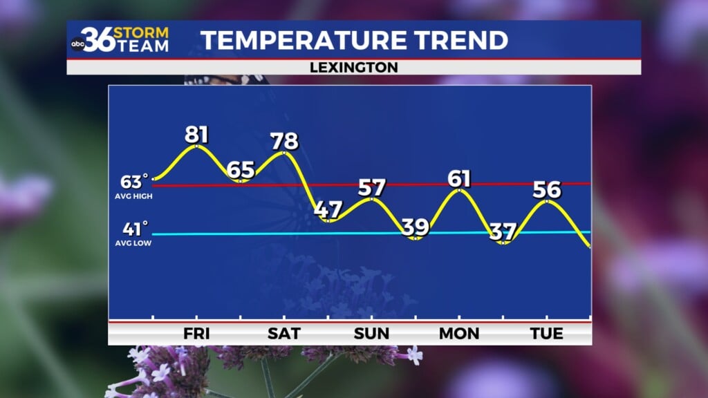
Sunday: Sunshine and 45
Monday: Mostly sunny and a high of 58.
Tuesday: Partly cloudy and a high of 60.
Wednesday: Mostly sunny and a high of 66.
Thursday- Partly cloudy for St. Patrick’s Day and a high near 70
Friday- partly sunny with a chance of showers (50%) and a high of 65
Saturday: Partly to mostly cloudy and a high of 56.
Today in weather history:
Lexington had 6″ of snow in 2018. I believe we tied that today. 2.04″ of rain on this date in 1975 for Lexington. A record overnight low of 9 was set in 1998. In 2020, a supercell tracked across McCreary County late at night. An EF-1, 100 mph wind speeds, 175 yards wide, that travelled 1.6 miles. The tornado touched down in three different spots.
1988 – A powerful storm produced high winds and heavy snow in the Upper Mississippi Valley and the Upper Great Lakes Region. Winds gusting to 70 mph produced snow drifts six feet high in Minnesota, and sent twelve foot waves on Lake Superior over the breakwalls of the ship canal at Duluth MN. (The National Weather Summary) (Storm Data)
1989 – An early season heat wave continued in the southwestern and central U.S. Nineteen cities reported record high temperatures for the date. Wichita Falls TX, which six days earlier reported a record low of 8 above, reported a record high of 95 degrees. Childress TX was the first spot in the country in 1989 to hit the century mark. (The National Weather Summary)
1990 – Unseasonably warm weather prevailed from the Southern and Central Plains to the Southern and Middle Atlantic Coast, with afternoon highs in the 70s and 80s. Seventy-six cities reported record high temperatures for the date. Downtown Baltimore MD was the hot spot in the nation with a record high of 95 degrees, which smashed their previous record for the date by nineteen degrees.


