Cloudy start to the new year with gradual warming ahead
Patchy fog and isolated rain chances give way to a drier, milder pattern across Kentucky
A chilly and uneven start to the new year
The first day of the new year started off cloudy and chilly across much of the area, but temperatures varied quite a bit depending on where you were. Northern parts of the viewing area, especially closer to I-64, stayed locked under stubborn cloud cover through much of the afternoon, keeping highs mainly in the low to mid 30s. Areas that managed to see clouds break later in the day warmed into the low 40s, while locations farther south that enjoyed more sunshine were able to climb into the low 50s. That sharp temperature contrast was tied to a weak, fading front draped across the region.
Clearing tonight with patchy fog possible
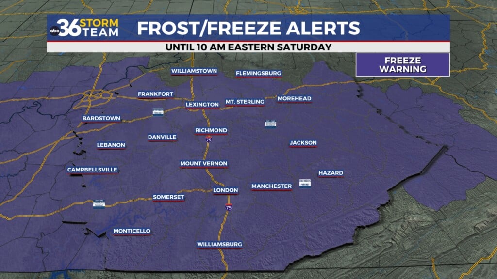
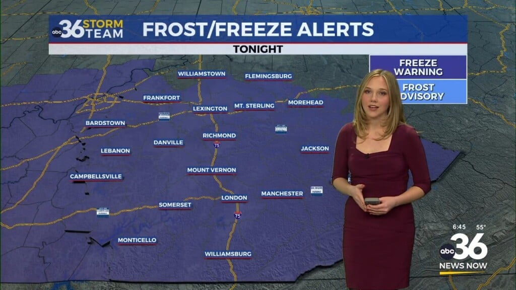
As we move into tonight, skies will gradually clear out for most of the area, allowing temperatures to fall quickly after sunset. Overnight lows will drop into the upper 20s and low 30s. With clear skies and lingering moisture near the ground, patchy fog is possible late tonight into early Friday morning, especially in low-lying or sheltered areas. In spots where temperatures dip below freezing and fog becomes dense, a few slick spots can’t be ruled out for the Friday morning commute.
Friday stays mostly cloudy with rain chances south
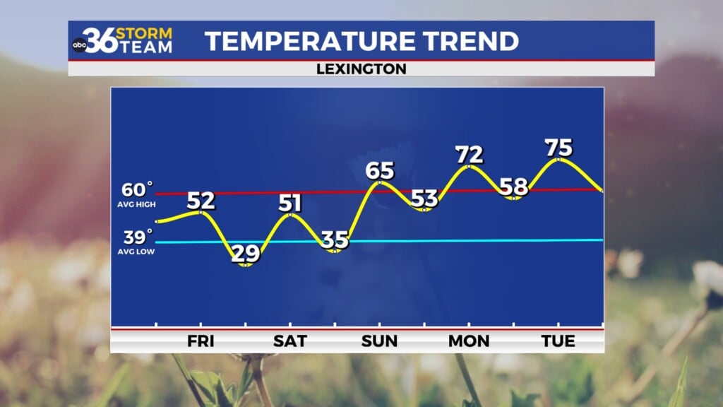
Any early fog or low clouds Friday morning should improve by late morning, but clouds will increase again through the afternoon ahead of the next system. Temperatures will once again show a north-to-south difference, with highs in the upper 30s to low 40s across northern counties and upper 40s to low 50s farther south. A developing system tracking through the Tennessee Valley will bring a chance for light rain late Friday into early Saturday, mainly across southern Kentucky. Areas around Lexington and points north are expected to stay dry, with rain chances remaining limited and amounts light where showers do occur.
Friday night into Saturday: clearing returns
Friday night, isolated showers may brush the southern part of the viewing area, but many locations will simply notice thicker cloud cover. Overnight temperatures will settle into the upper 20s to low 30s north and low to mid 30s south. By Saturday morning, the system pulls away, allowing skies to gradually clear from northwest to southeast. Saturday afternoon looks dry with seasonable temperatures returning, as highs climb back into the low 40s.
A warming trend takes hold next week
Looking beyond the weekend, a quieter weather pattern sets up with high pressure in control. Temperatures will slowly trend upward heading into early next week, reaching the low 50s by Monday and Tuesday. As we move toward the middle and latter part of next week, highs may push into the upper 50s and even low 60s. While a few rain chances may return later next week, the overall trend points toward above-average temperatures continuing through at least the middle of January.
ABC 36 Storm Team 36-hour forecast
Thursday night: Clearing skies with patchy fog possible late. Lows in the upper 20s to low 30s.
Friday: Mostly cloudy and mild for early January. Highs range from the upper 30s north to near 50 south.
Friday night: Mostly cloudy with a chance of light rain mainly south. Lows in the upper 20s to mid 30s.


