Beautiful Tuesday ahead of a shot of late summer warmth
Meteorologist Dillon Gaudet has the latest in your ABC 36 Storm Team forecast
A “Go Day” for Tuesday

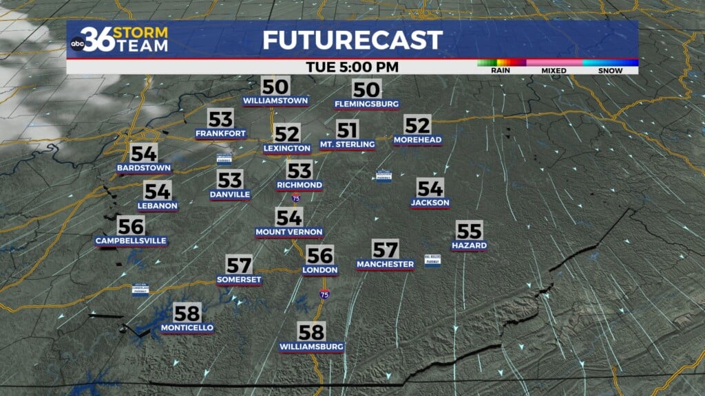
Our stretch of nice weather continues for your Tuesday! It’s a Dillon Gaudet, “Go Day.” Afternoon highs will peak in the mid-to-upper 70s, right where we should this time of the year. We will stay dry as well with low humidity and mostly clear skies.
Late summer warmth

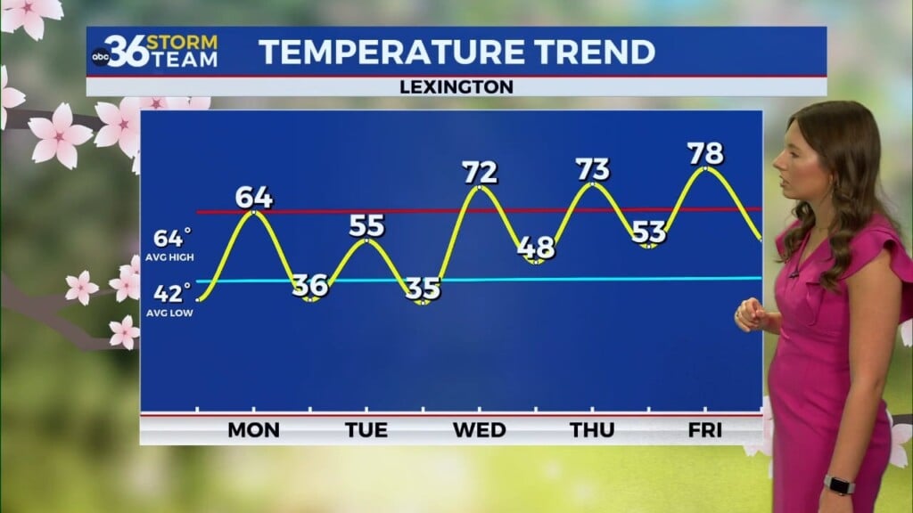
Temperatures will begin to climb on Wednesday. Afternoon highs Wednesday through Friday will peak in the low-to-mid 80s. This won’t be excessively warm, but around ~5° above average high temperatures. Morning lows will be seasonable as well. With drier air and mostly clear skies, overnight lows will still drop into the mid-50s.
Active pattern return?

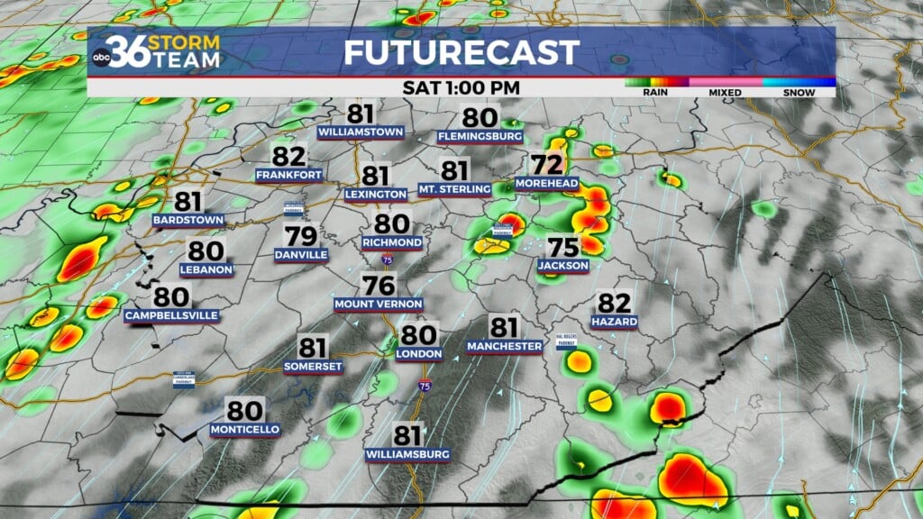
The pattern remains quiet through at-least Saturday. However, there could be a pattern change moving in for early next week. Rain chances increase late Sunday into Monday as Kentucky will be sandwiched between two systems. A coastal low off the North & South Carolina coast will bring rain and storms for the Mid-Atlantic to our east. A cold front will be a round of storms to our west and eventually for us by early next week. You can stay with the ABC 36 Storm Team for more updates.
The ABC 36 Storm Team is on your side.
ABC 36 HOUR FORECAST
TUESDAY: Mostly sunny skies, seasonable. Highs in the upper 70s.
TUESDAY NIGHT: Mostly clear skies and cool. Lows in the mid-50s.
WEDNESDAY: Mostly sunny-to-partly cloudy. Highs in the low 80s.


