Arctic air sticks around through the week, but we stay dry for now
Wednesday stays dry and cold
The morning started cold in the low 20s. A light southwestern breeze kicks in late morning, causing wind chill values about 5 degrees below actual air temperatures. As clouds clear, the south will see sunshine first and warm up a bit more. This puts temperatures in the upper 30s further south, but most in the central and northern Bluegrass will see the low-mid 30s. Wind chill will make many feel like the 20s.
Thursday and Friday could see a few flurries
Thursday will see more clouds cover. Temperatures will be cold, starting in the low 20s and reaching mid-30s in the afternoon. With cold temperatures and enough cloud cover, a few snowflakes could get squeezed out, especially to the north. Don’t be surprised if a few flurries fall, although it won’t be enough to cause any accumulations or impacts.
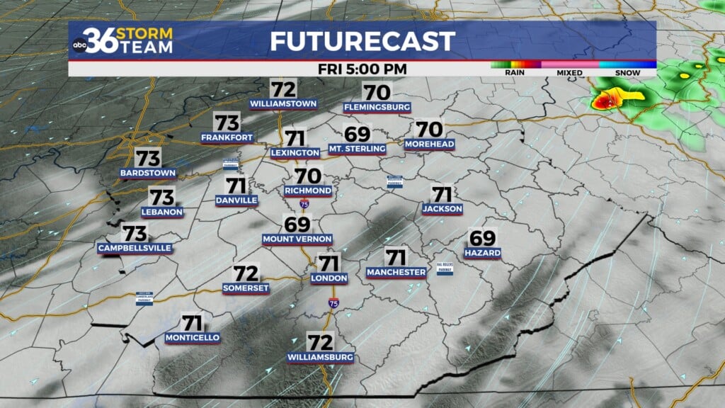
Friday stays cold as arctic air remains stagnant across the Bluegrass. To the south, a system will scoot past and may be close enough that some in the SE Bluegrass could see a wintry mix. This would be brief in the late morning and early afternoon. Again, it will likely not cause many impacts.
Weekend starts calm, could end active
Saturday will be calm and partly cloudy. Temperatures stay cold in the upper 30s. Sunday sees similar temperatures, but more cloud cover. This is ahead of another system that could move in from the west. If this system develops as currently forecasted and moves into the region, we may see another chance for some minor impacts and accumulations. As it is still so far out, so much could change with this system’s timing and placement. Just know that the pattern remains active for the end of the weekend and the beginning of next week.