An active forecast continues
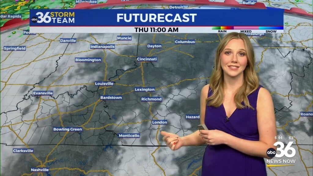
Meteorologist Jordan Smith has a look at your Thursday morning forecast!
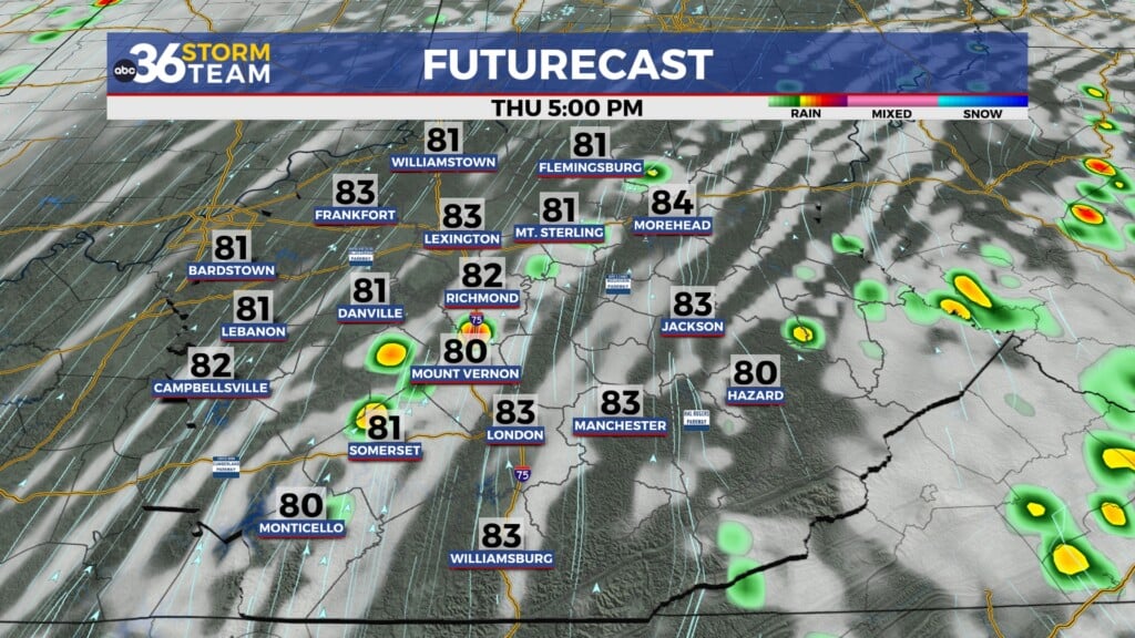
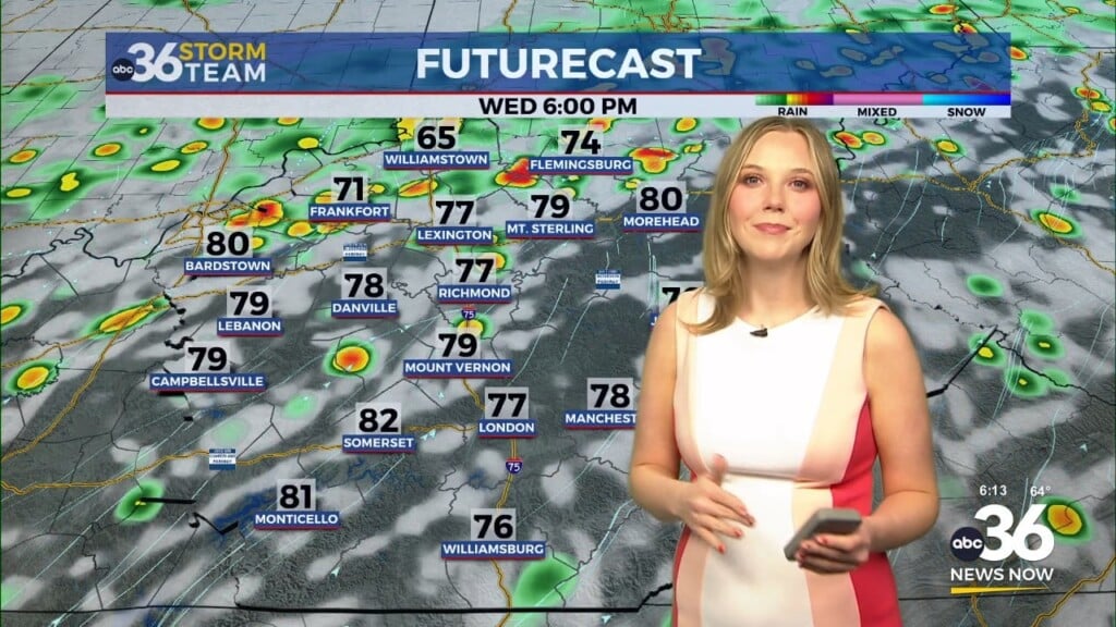
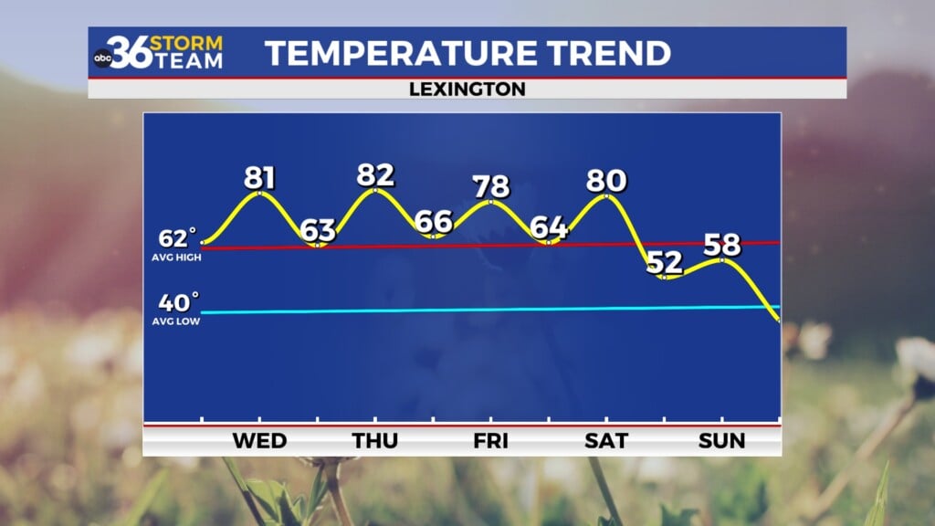
Lexington, Kentucky ( WTVQ – ABC 36): Good Thursday morning everyone, our day is starting off with a good deal of rain and storms across the area. But we will start to clear everything out by later today setting us up for a August summer-like Friday with temperatures in the upper 80s and sunshine.
Saturday has the potential to bring strong to severe storms across the region with the best chance in central and northern Kentucky as of now. The SPC has a “MARGINAL” to “SLIGHT” risk (levels 1&2/5) across this area. Damaging winds, isolated large hail, frequent lightning, torrential rain, and an isolated tornado will all be possible.
Sunday will be mainly dry but an isolated shower or storm still can’t be ruled out. But we find our next system of interest coming for Monday. This will bring another threat of strong to severe storms. The SPC is actually already highlighting our entire area and we are still 5 days out, they don’t do that too often so we really need to keep a close eye on this threat.
As always, stay with the ABC 36 Storm Team on-air and online for updates.
In the short term:
TODAY:
TONIGHT:


