Additional severe storm threats on the way
Meteorologist Jordan Smith has a look at your Saturday evening forecast!
Good Saturday evening everyone, we started the day out with rain and thunderstorms… especially across southern and southeastern Kentucky. Most of us then dried out into the afternoon, but some additional scattered thunderstorms are going up this evening into tonight. A couple may be strong and there is a very low threat for one or two to turn severe, especially in central and northeast Kentucky. That is where a “MARGINAL” risk (level1/5) and “SLIGHT” risk (level 2) is.
But once past tonight, here are our weather headlines to walk you through the next week.
The first half of Sunday will be dry, but scattered showers and storms go back up during the evening and into the night.
A few may be strong with a small chance at one or two going severe. The SPC has a “MARGINAL” risk (level 1/5) for the entire area. Gusty to damaging winds will be the main severe element but heavy rain and lots of lightning will be likely regardless.
Monday brings our next severe threat and this one is likely to be the bigger threat. The SPC already has a “SLIGHT” risk (level 2/5) out for the entire area. It is very possible this gets upgraded as we get closer. ALL modes of severe weather look possible.
We could also be dealing with two different rounds on Monday, one in the morning…
Also one in the evening as the front moves through…
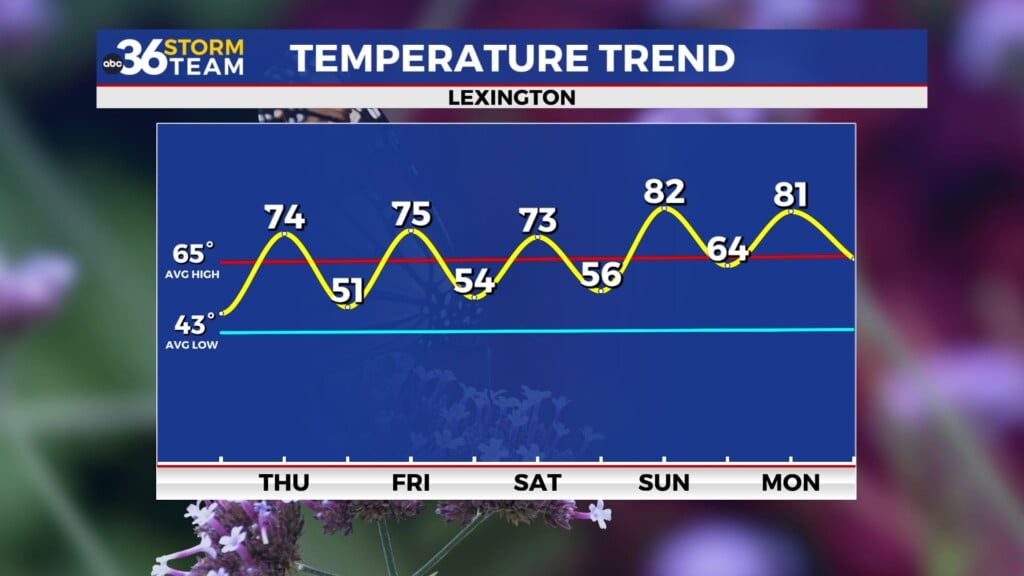
Make sure you are staying with the ABC 36 Storm Team on-air and online for updates over the next couple days. Once the front passes on Monday night, it will bring us WELL BELOW average temperatures for Tuesday and Wednesday as we will feel more like the middle-end of September than mid August. Highs on Tuesday will only be in the low 70s.
Lows by Wednesday morning could reach the mid to upper 50s.
Highs on Wednesday afternoon reach the mid to upper 70s. We start to warm it back up where we should be for this time of year by Thursday – next weekend with upper 80s to near 90 returning.
Back here in the short term:
TONIGHT:
TOMORROW:


