A nice Monday before wind and storms
Meteorologist Jordan Smith has your Sunday evening ABC 36 Storm Team forecast
Lexington, Kentucky (WTVQ – ABC 36): Good Sunday evening everyone, it is a day that started out very cold into the mid to upper 20s but recovered into the upper 50s to low 60s. We have a NICE and WARM Monday in store before changes blow in Monday night, literally. More on that in a moment, here is your gorgeous Monday forecast.
Back to those changes “blowing” in for Monday night. Winds on Monday will be very gusty for western Kentucky with gust 30-40mph+.
Winds gust up to 40-50mph+ in western and west-central Kentucky Monday night into early Tuesday ahead of our system moving into town.
For that reason, a WIND ADVISORY is out for areas along and west of interstate 65 in Kentucky through Tuesday evening.
Gusty winds of 30-40mph+ will overspread the rest of Kentucky Tuesday morning into the afternoon.
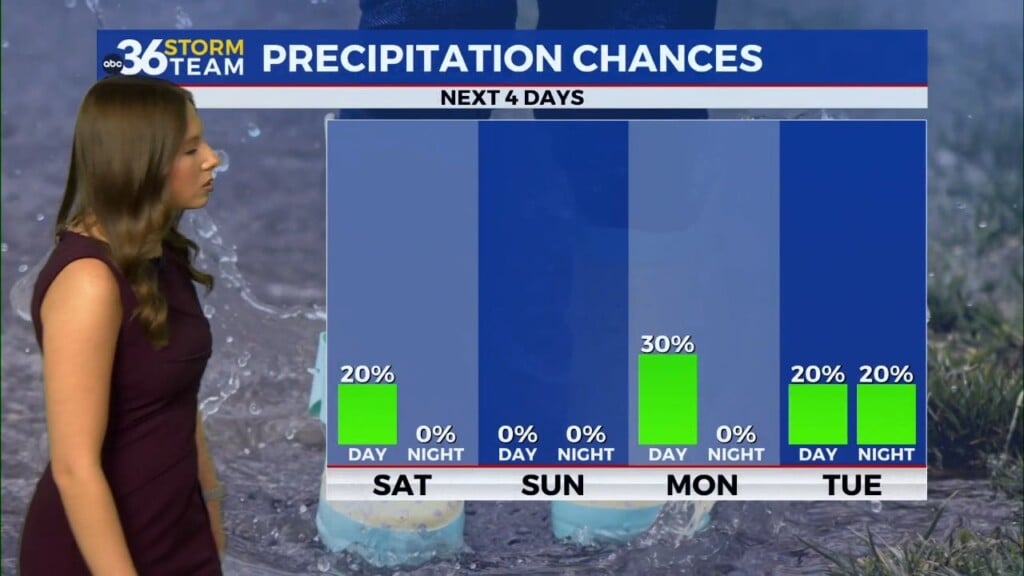
These winds are along and ahead of rain and storms moving into central and eastern Kentucky early Tuesday morning into the lunch time hour.
Locally heavy rain, gusty winds, and lightning will accompany those storms. But we likely catch a break in the action early afternoon ahead of the actual cold front moving in. If we do see some clearing during this time, that could spark some strong to isolated severe storms Tuesday late afternoon into the evening.
For that reason, a “MARGINAL RISK” (level 1/5) is out for areas of western and central Kentucky for Tuesday afternoon.
Rainfall through early Wednesday (when the rain clears out) looks to be a general .50″ – 1.00″ across central and eastern Kentucky.
Stay with the ABC 36 Storm Team ahead of it all the next couple days both on-air and online. #kywx


