A messy Sunday to a bigger system mid week
Meteorologist Jordan Smith has a look at your Saturday evening forecast!
Lexington, Kentucky: Good Saturday evening everyone, we’ve had a chilly but calm day across the Commonwealth! I hope you soaked up the calmness of today because our pattern is about to crank it up about 10 more notches starting tomorrow. Clouds will continue to increase past midnight. Here is a quick breakdown of how the day looks to play out.
Moisture works into the area super early on our Sunday and looks to start out as a mix for our our northern counties, areas north of interstate 64 may see some slush accumulate. General rain showers will be with the rest of us throughout the day on Sunday with highs in the chilly low to mid 40s.
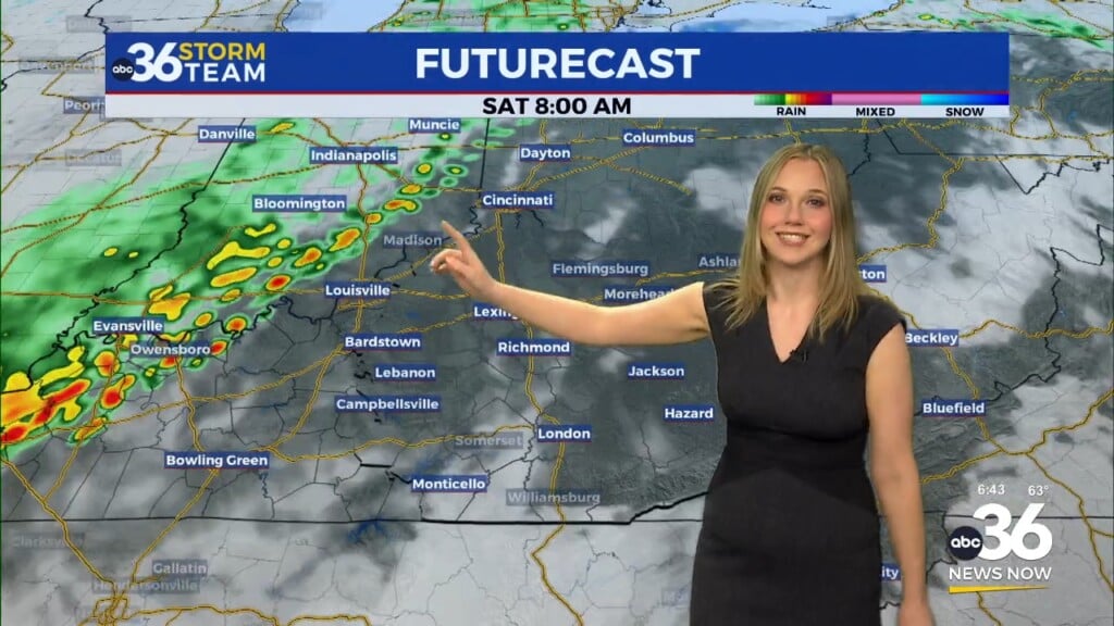
There is two looks at our future cast which shows the rain showers around early in the morning and then again during the afternoon. It will not rain all day, but it’ll be cloudy/misty when it isn’t raining making for a messy day. Temperatures will begin to drop tomorrow evening and by midnight we are into the mid to upper 30s. That is when snow showers and flurries start to move in. As temperatures drop to the low 30s by Monday morning, a few slick spots will be possible under the heavier snow showers.
You can see the future cast is showing more pretty widespread snow showers for the morning commute on Monday. I don’t expect widespread accumulations, but some hit and run light accumulations will be possible. Monday afternoon will feature more clouds than sun with highs in the mid 30s and a passing flurry remaining possible. Tuesday is mainly dry with temperatures in the low to mid 40s under a partly sunny sky. This brings us to Wednesday – Thursday when everyone is wanting to know what is going to happen as we have a big storm system set to impact the state.
This is a complex system and we still can’t nail down any specific details at the moment, but models are starting to come into better agreement. As of now I think we start it out as snow Wednesday morning and could lay some on the ground. We then go over to rain Wednesday afternoon before going back over to snow Wednesday evening – Thursday. It all depends on the track of the low.
As of now it looks to go in between these two tracks giving us our fair share of rain and snow as I said above. The GFS is one of the major models we look at and it has my thinking of the above paragraph.
Taken verbatim, that would lay snow on the ground for central and northern Kentucky early early Wednesday morning, go over to rain areawide into the afternoon, and back to snow Wednesday evening lasting through Thursday with more accumulations.
As always, your ABC36 Storm Team will keep you up to date and provide you with the very latest in the coming days so keep checking back for updates on-line and on-air! #kywx
SATURDAY NIGHT: Mostly cloudy and chilly. Lows in the low 30s.
SUNDAY: Mostly cloudy with a morning mix going over to all rain showers. Highs in the low-40s.
SUNDAY NIGHT: Snow showers and flurries around. Lows in the low 30s.


