A Go Day on the way Thursday
Meteorologist Dillon Gaudet has the latest in your ABC 36 Storm Team forecast
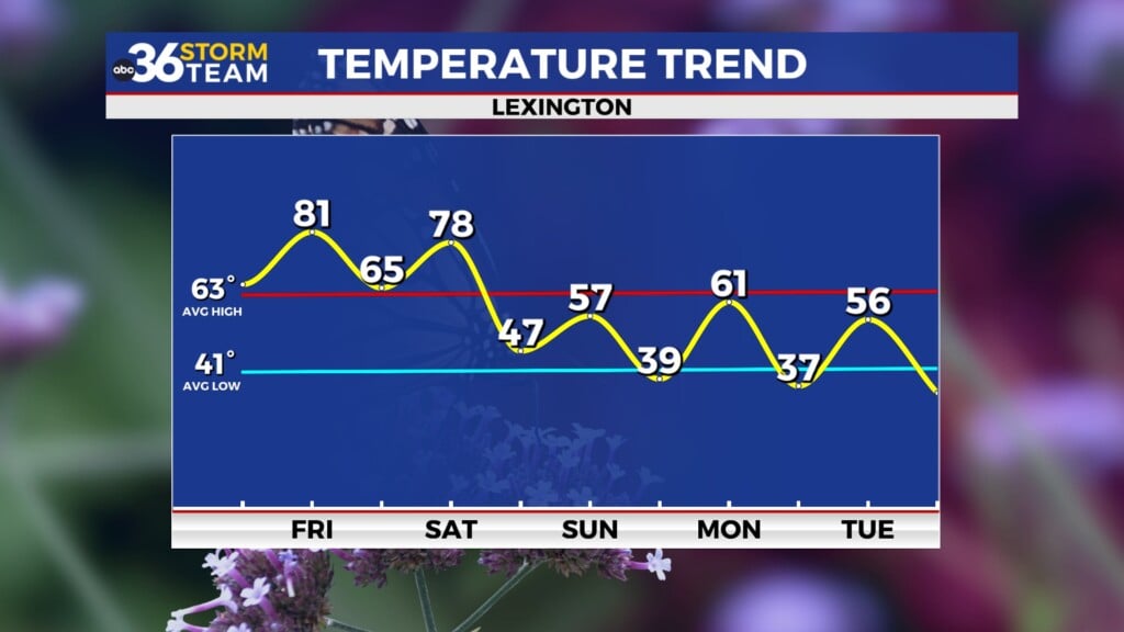
Beautiful conditions continue for your Thursday across central and eastern Kentucky. This will likely be the warmest day all week long as temperatures soar near 80°. Upper level clouds will increase throughout the day ahead of our next system. This system will bring an end to our seven day dry stretch, which will tie our longest dry stretch of the year so far.
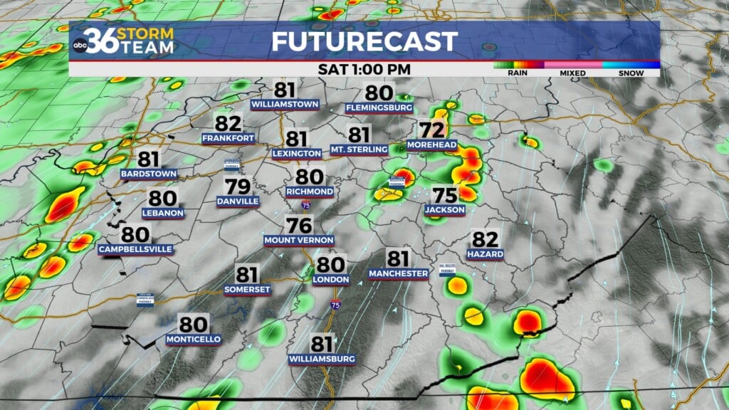
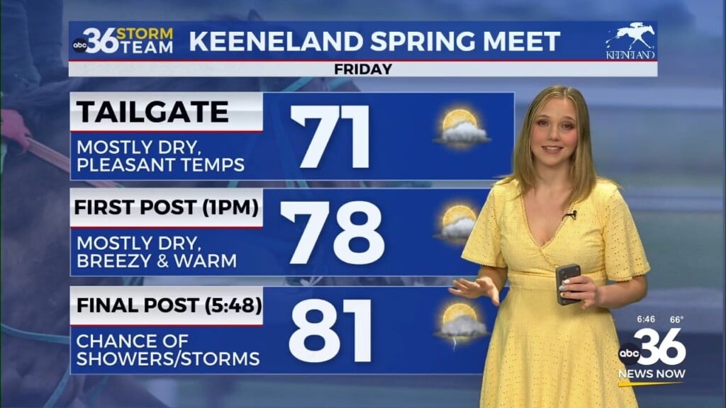
Isolated showers and a few storms will return to the forecast on Friday. Temperatures will also be a few degrees cooler than they were for the last few days. Rain chances decrease on Saturday, though we can’t rule out a pop-up shower or storm. A cold front will begin to work through the central US on Saturday as well. This will move through our area on Sunday bringing us a increased risk of showers and storms along the front.
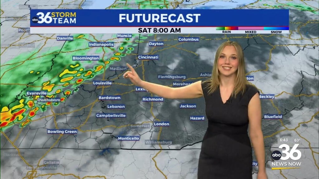
Scattered showers and storms will start the day likely in central/western Kentucky and move eastward along the front throughout the day on Sunday. It will not rain all day, but along the front showers and storms will be likely for the midday. Rain chances quickly diminish as the front passes by Sunday afternoon and evening.
Cooler air will filter in behind the front leading to a colder to start to next week. Afternoon highs on Monday will struggle to reach the upper 50s. This cooler pattern will not last long though as we are expected to return to the 70s by the middle of next week.
The ABC 36 Storm Team is on your side.
ABC 36 HOUR FORECAST
THURSDAY: Mostly sunny and warm. Highs in the upper 70s and low 80s.
THURSDAY NIGHT: Clouds increase and not as cold. Lows in the mid 50s.
FRIDAY: Partly cloudy with isolated showers and storms. Highs in the mid 70s.


