A dry and mild mid-week ahead of a soggy weekend
Cool and dry through the end of the workweek
Cooler air settles into the Bluegrass region as a cold front moves away and high pressure builds in. Any lingering light rain fades early, followed by dry and quiet conditions through Friday. Afternoon highs remain in the 40s, with overnight lows dropping into the 20s and 30s.
With recent snow and ice melt, any moisture left on roads could refreeze overnight and into the early morning hours. This raises the risk for patches of black ice, especially on bridges, overpasses, and less-traveled roads. Drivers should use caution during the morning commute, even where roads appear dry.
The only chance for precipitation will be Thursday night, when cloud cover builds in the northeast, and a few flurries may fall. No accumulations or impacts are expected, and most will stay dry.
Weekend system brings widespread rain and travel impacts
A low-pressure system moving across the southeastern United States is expected to bring soaking rain to the Bluegrass over Valentine’s weekend. Rain becomes more widespread as warmer air and moisture move into the region.
Forecast rainfall totals range from around one-half inch to more than an inch, with locally higher amounts possible. While significant flooding is not expected at this time, steady rainfall could lead to ponding on roadways and isolated flooded spots, particularly during the morning hours when rain combines with ongoing ice and snow melt. Reduced visibility and slick conditions may impact travel at times.
Dry and milder weather returns next week
Once the weekend system moves out, high pressure is expected to return early next week.
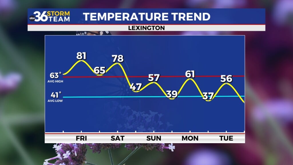
This brings a return to dry weather along with a warming trend. Temperatures climb back above normal, offering a quieter and more comfortable stretch following the wet weekend.
By Presidents’ Day, we will be in the upper 50s and potentially near 60.


