A chilly start to May before a warm up by Derby day
Meteorologist Jordan Smith has a look at your Sunday evening forecast!
Lexington, Kentucky (WTVQ – ABC 36): Good Sunday evening everyone, small hail producing showers and storms have been about the area this afternoon and evening. Check out this picture of what looks like snow, but is hail in Dry Ridge.
Where do we go after tonight? Here is a look at our weather headlines.
The first day of May is tomorrow (Monday) but it’ll be more like March. Temperatures start out in the 40s and only warm into the low to mid 50s by the afternoon. Rain showers will be likely once again for Monday as well as wind gust 30-40mph.
Tuesday will start into the mid 40s and only rise into the low to mid 50s once again into the afternoon.
By Wednesday morning we run the risk of seeing some patchy frost with temperatures into the mid 30s.
We start to see some improvement by Wednesday afternoon with highs in the upper 50s to near 60.
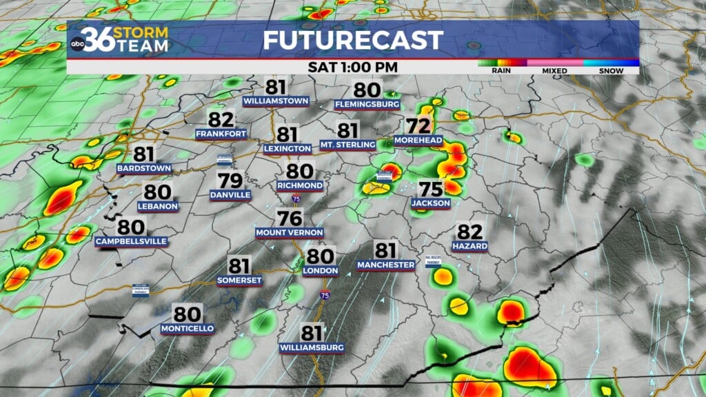
Wednesday and Thursday are both dry with highs Thursday into the mid to upper 60s as we start to pull out of this chilly pattern. All eyes are on Friday and Saturday though as the Kentucky Oaks and Derby take place in Louisville. As of now, Friday could feature some rain showers around with temperatures in the upper 60s.
Saturday looks dry with temperatures in the low 70s.
The ABC 36 Storm Team will keep you updated all week long and fine tune that Oaks/Derby forecast as we get closer.
Back in the short term…
TONIGHT:
MONDAY:


