Meteorological Summer begins with sunshine and a refreshing stretch of weather
Lower humidity and several days of dry weather arrive across Kentucky before storm chances return this weekend
Happy First Day of Meteorological Summer!
June has arrived, and it certainly feels like summer across Central and Eastern Kentucky. We started the first day of meteorological summer on a mild note, with temperatures beginning the morning in the upper 60s and lower 70s across much of the region.
While many areas have enjoyed sunshine throughout the day, a few isolated showers have developed across parts of the Bluegrass and northern Kentucky as a weak backdoor cold front slides through the area. This front isn’t bringing in cooler air behind it, but it will usher in a much drier air mass that will make for some very pleasant weather over the next several days.
This afternoon, temperatures are expected to climb into the upper 70s and lower 80s under a mix of sunshine and passing clouds.
A Few Isolated Showers Possible This Afternoon
Most communities will remain dry today, but a few isolated showers or storms cannot be ruled out, especially across southern and southwestern Kentucky.
Any storms that do form would primarily bring brief heavy rainfall, lightning, and gusty winds. Overall, however, widespread severe weather is not expected for most of Central and Eastern Kentucky.
Refreshing Air Arrives Tonight
As the cold front continues pushing through the region this evening, skies will gradually clear and noticeably drier air will begin filtering into Kentucky.
Overnight lows will fall into the mid to upper 50s for most locations, with a few lower 60s possible in some of the warmer urban areas. By Tuesday morning, many communities will wake up to much lower humidity levels compared to what we’ve experienced recently.
Beautiful Weather Through Much of the Week
The biggest weather story this week will be the arrival of an unusually dry air mass for early June.
High pressure settling south from Canada will bring plenty of sunshine, lower humidity, and comfortable temperatures from Tuesday through Friday. In fact, atmospheric moisture levels are expected to fall well below average for this time of year.
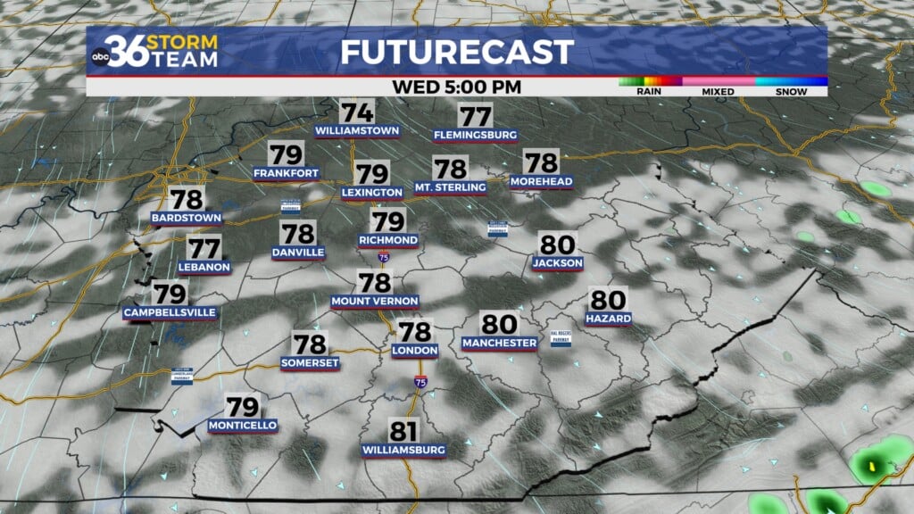
Tuesday and Wednesday will feature mostly sunny skies with highs generally in the middle to upper 70s. Morning temperatures will be quite refreshing as well, with many locations dropping into the 50s and some sheltered valleys potentially falling into the upper 40s.
By Thursday and Friday, winds will gradually shift back out of the south, allowing temperatures to slowly rebound toward seasonable levels while dry weather continues.
Warmer Temperatures Return This Weekend
As we head toward the upcoming weekend, the weather pattern will begin to shift once again.
A developing ridge across the southeastern United States will help temperatures climb back into the low and middle 80s. At the same time, moisture from the Gulf of Mexico will begin returning northward, bringing back the chance for scattered afternoon and evening showers and thunderstorms.
At this point, the weekend does not look like a washout. Instead, expect the typical summertime pattern of warm afternoons, increasing humidity, and scattered storms developing during the heat of the day.
Sunday currently appears to have the better chance for rain compared to Saturday.
Summer-Like Pattern May Continue Into Mid-June
Long-range forecast guidance continues to suggest above-average temperatures may become more common as we move deeper into June. While rain chances will increase this weekend and into next week, no major cool-downs are currently expected.
That means more sunshine, warmer afternoons, and a growing summer feel across Kentucky as we move through the first half of June.
ABC 36 Storm Team 36-Hour Forecast
Monday Night
Mostly clear and less humid. Lows in the mid to upper 50s, with a few lower 60s possible.
Tuesday
Sunny, breezy, and comfortable. Highs in the mid to upper 70s with much lower humidity.
Tuesday Night
Clear and cool. Lows in the low to mid 50s, with some sheltered valleys dipping into the upper 40s.