Ice, snow, and arctic cold create dangerous conditions across Kentucky
Freezing rain, sleet, and snow give way to bitter cold as impacts continue into early week
Ice Now the Biggest Threat Across Central and Southern Kentucky
Since last night, the weather story across the region has shifted from heavy snow to a much more dangerous mix of sleet and freezing rain. While snow was the dominant precipitation earlier in the storm, warmer air moving in above the surface has caused much of the area to transition to ice. This change has led to rapidly worsening travel conditions and growing impacts, especially across southern Kentucky.
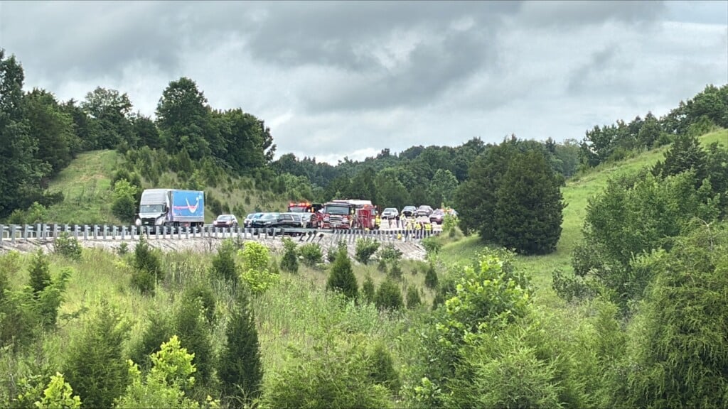
As of this morning, southern Kentucky has seen the most significant problems, with ice building up on trees and power lines. That ice accumulation has already resulted in widespread power outages, and those numbers have continued to climb through the morning hours. Even areas that briefly reached or hovered near freezing are still seeing ice accumulate on colder surfaces like roads, bridges, and elevated objects.
Why the Storm Changed From Snow to Ice
The reason for this messy setup is a layer of warmer air several thousand feet above the ground, often called a “warm nose.” Snow falling into this warmer layer melts before reaching the surface. When that melted precipitation falls back into cold air near the ground, it refreezes as sleet or freezes on contact as freezing rain.
This warm layer has been stubborn across much of Kentucky today, especially south of the Bluegrass Parkway. As a result, freezing rain and sleet have become the main precipitation types, allowing ice to continue building in areas that were already dealing with snow earlier in the storm.
Arctic Air Returns, Changing Everything Back to Snow
Relief from the ice does come later today, but it arrives in the form of another surge of arctic air. As colder air pushes back into the region over the next several hours, temperatures will fall quickly. Once that happens, precipitation will transition back to snow for everyone before tapering off late tonight into early Monday morning.
While the ice threat will gradually come to an end as colder air takes over, this does not mean impacts will immediately improve. Even a few additional hours of freezing rain can worsen power outages and road conditions. After the switch back to snow, some locations could still pick up a few more inches before the system finally exits.
Dangerous Travel and Power Outages Remain the Main Impacts
The biggest message through the rest of today and tonight is impact, not totals. Snow amounts vary across the region, but everyone is dealing with hazardous conditions. Ice-covered roads, falling tree limbs, and power outages are making travel extremely dangerous.
If you do not need to be out today, staying home is strongly recommended. Giving road crews time and space to treat and clear roads not only helps them do their job but also keeps you safer. This storm is disruptive no matter where you are located, whether your main issue is snow, ice, or a combination of both.
Bitter Cold Follows the Storm
Once precipitation moves out early Monday morning, the focus quickly shifts to dangerously cold temperatures. Highs today remain in the teens, with wind chills making it feel even colder. Temperatures will struggle to warm much on Monday, with many areas staying in the teens to low 20s.
The coldest period arrives Monday night into Tuesday morning. Overnight lows are expected to drop into the single digits, with wind chills falling well below zero in some spots. This level of cold can be dangerous if proper precautions are not taken, especially for anyone without power or adequate heating.
This remains a high-impact, dangerous stretch of weather for Kentucky. Continue checking back for updates, stay off the roads if possible, and take steps now to prepare for prolonged cold and potential power outages.