Rain and storm chances continue for Monday
Isolated-to-scattered showers and storms will be firing up Monday afternoon
LEXINGTON, Ky. (ABC 36 NEWS NOW) – It’s a foggy and humid start to the new week across central and eastern Kentucky, and that sticky summer feeling isn’t going anywhere just yet. After a few dry hours this morning, we’ll see isolated to scattered showers and thunderstorms fire up later this afternoon into the early evening. While storm coverage today won’t be as widespread as over the weekend, any storm that forms could still pack locally heavy downpours, gusty winds, and lightning.
Temperatures today will climb into the low 80s, and it will feel every bit as muggy as it sounds, with dew points hanging in the upper 60s to low 70s. Rain chances diminish late tonight, though patchy fog may once again develop heading into Tuesday morning.
Tuesday brings a more active weather pattern. A mid-level disturbance will move across the Ohio Valley, tapping into a very moist atmosphere overhead. That means widespread showers and thunderstorms are expected, especially during the afternoon and evening. Storms will be capable of repeated rounds of heavy rainfall, and with precipitable water values climbing over 2 inches, the atmosphere will be primed for efficient rainfall production.
The Weather Prediction Center has placed much of our area under a Slight Risk (Level 2 of 4) for flash flooding on Tuesday. That means some areas could experience rapid rises in creeks, streams, and low-lying spots, especially if training storms develop. Flood-prone areas should stay alert.
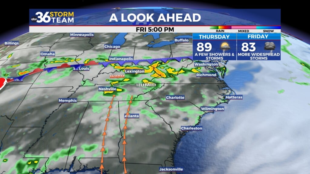
Looking ahead to midweek, we’re monitoring the potential for a more organized round of strong to severe thunderstorms late Wednesday into Thursday. While details on the timing are still coming into focus, the Storm Prediction Center already has central and eastern Kentucky in a Level 1 out of 5 severe risk. This setup looks driven by a stronger cold front that will swing through the region Thursday into Thursday night. The main threats would be damaging wind gusts and additional heavy rain, but we’ll refine the specifics as we get closer.
Behind that front, we’ll dry out and cool off slightly for Friday. Humidity levels should take a noticeable dip, offering a much-needed break from the tropical air mass.
However, don’t get too comfortable—a major warm-up is expected over the weekend. Sunshine returns and temperatures will be on the rise, with highs in the upper 80s to near 90° by Sunday. It’s likely to feel even hotter thanks to climbing dew points, with heat indices pushing into the mid-90s in some locations.