Strong-to-severe storm threat Friday
Isolated showers and storms early will lead to more widespread rain chances later in the day
LEXINGTON, Ky. (ABC 36 NEWS NOW) – It’s another warm and muggy start to the day across Central and Eastern Kentucky, with scattered showers and a few thunderstorms already affecting parts of southern and eastern portions of the state this morning. So far, Lexington has managed to stay dry—but that won’t last forever.
As we move into the afternoon and evening, our attention turns to the potential for stronger storms. The Storm Prediction Center has placed most of our region under a Level 2 out of 5 Severe Risk, meaning scattered strong to severe storms will be possible. Damaging wind gusts will be the primary concern, though isolated large hail can’t be ruled out. Localized heavy to torrential rainfall will also be possible, which could lead to brief flooding in poor drainage areas.
Storm chances will increase later in the day as the atmosphere becomes more unstable. Models suggest MLCAPE values of 1,500–2,000 J/kg will be in place, especially south of I-64, providing enough energy to fuel thunderstorms. While wind shear remains on the weaker side (which limits any tornado potential), clusters or broken lines of storms could still pack a punch, especially with gusty downbursts and pockets of heavier rain.
Timing:
Storms may begin to fire up during the mid-to-late afternoon and continue into the evening and overnight hours. While the strongest activity is expected this evening, showers and a few rumbles of thunder may linger well into early Saturday morning.
Weekend Outlook: More Storms Possible, Especially Saturday Evening
Saturday will bring a brief lull in activity for some during the morning and early afternoon hours, but the break won’t last long. A second round of storms is expected to move in later in the day and into the evening, driven by another disturbance pushing out of Missouri.
The SPC currently has southern Kentucky under another Level 2 out of 5 risk for severe weather for Saturday afternoon into the evening. This includes areas like Somerset and London. For Central and Eastern Kentucky, storm coverage will be more scattered but still capable of producing gusty winds and heavy rain.
Sunday and Monday: Hit-or-Miss Storms Continue, Then a Pattern Change
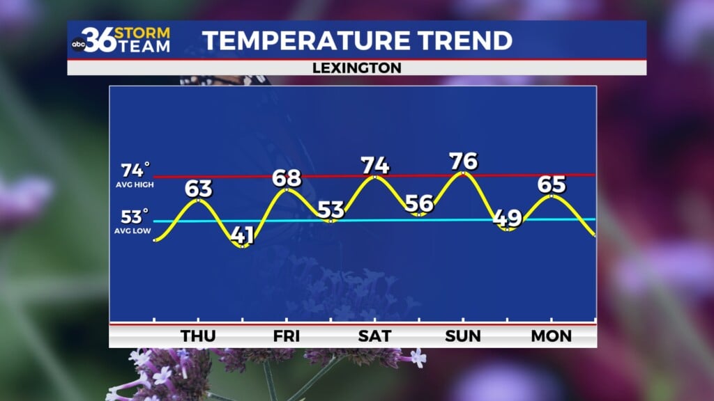
Sunday will bring some gradual drying, but we can’t completely rule out a stray strong storm, especially as an upper-level low lifts through the Ohio Valley. Temperatures will stay seasonably warm, with highs in the low to mid 80s.
On Monday, another cold front will sweep across the region, bringing another round of rain and storms. Once the front passes, expect cooler and less humid air to settle in—finally giving us a break from this stretch of muggy, unsettled weather.


