Mainly dry Memorial Day ahead of a rainy Tuesday forecast
Temperatures will rebound into the low-to-mid 70s on Memorial Day ahead of a rainy Tuesday forecast
LEXINGTON, Ky. (ABC 36 NEWS NOW) – It’s a dry and breezy start to the holiday week across central and eastern Kentucky. Your Memorial Day will feature a good mix of sunshine and clouds, along with seasonably cool temperatures and a noticeable breeze. Rain chances ramp up late tonight and especially into Tuesday, with the potential for heavy rainfall and localized flash flooding across parts of the region.
Memorial Day: Breezy and Pleasant
High pressure to our north and an upper ridge overhead will keep the northern half of our area dry today. While skies will be partly cloudy, we’ll see enough sunshine to make it a comfortable afternoon. Expect afternoon highs in the low to mid 70s, which is still running several degrees below average for late May.
Winds will be gusty at times, especially during the afternoon, with northeasterly gusts up to 20–30 mph possible. Some spotty light showers may sneak into southern Kentucky late today or this evening, but most of the ABC 36 viewing area will stay dry through the daylight hours.
Tuesday: Heavy Rain Threat
Rain chances go up quickly overnight and into your Tuesday morning as a low pressure system moves into the lower Ohio Valley. Widespread showers will overspread the area, with steady rain and embedded downpours likely for much of the day.
The Weather Prediction Center has placed most of our region under a Level 2 of 4 “Slight Risk” for flash flooding, with the potential for 1–2 inches of rain area-wide and locally 2–3 inches in spots, particularly in southern and southeastern Kentucky. Given recent rainfall, this could lead to localized flooding issues, especially in low-lying or flood-prone areas. The risk for severe storms remains low.
Midweek Outlook
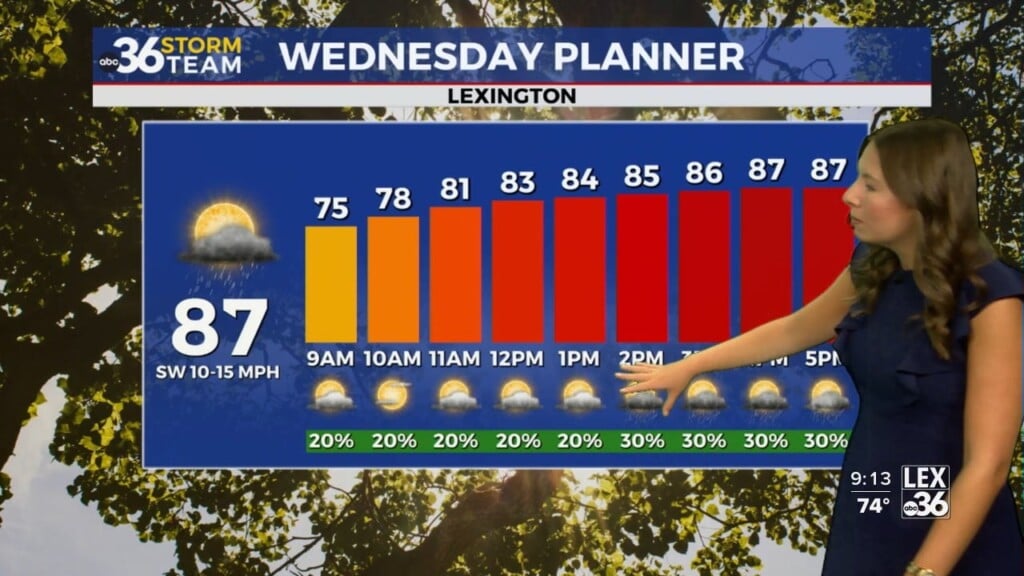
Rain will begin to taper off through the day on Wednesday, but some scattered showers and a few storms may linger. Temperatures will again top out in the low 70s with plenty of clouds around.
We get a break from the wet weather on Thursday, which looks like a nice day overall, dry conditions and highs in the low-to-mid 70s.
However, that break is short-lived. Rain chances return Friday as another disturbance drops in from the northwest. Temperatures will dip slightly again, staying in the low 70s to round out the week.
Looking Ahead: Early June Warm-Up
If you’ve been waiting for a warm-up, it’s coming. Long-range trends show a shift toward a warmer-than-normal pattern as we move into the first week of June, with highs likely returning to the 80s in the not-too-distant future.