Daily showers & storms in the forecast to start the workweek
Unsettled weather returns as you start the workweek.
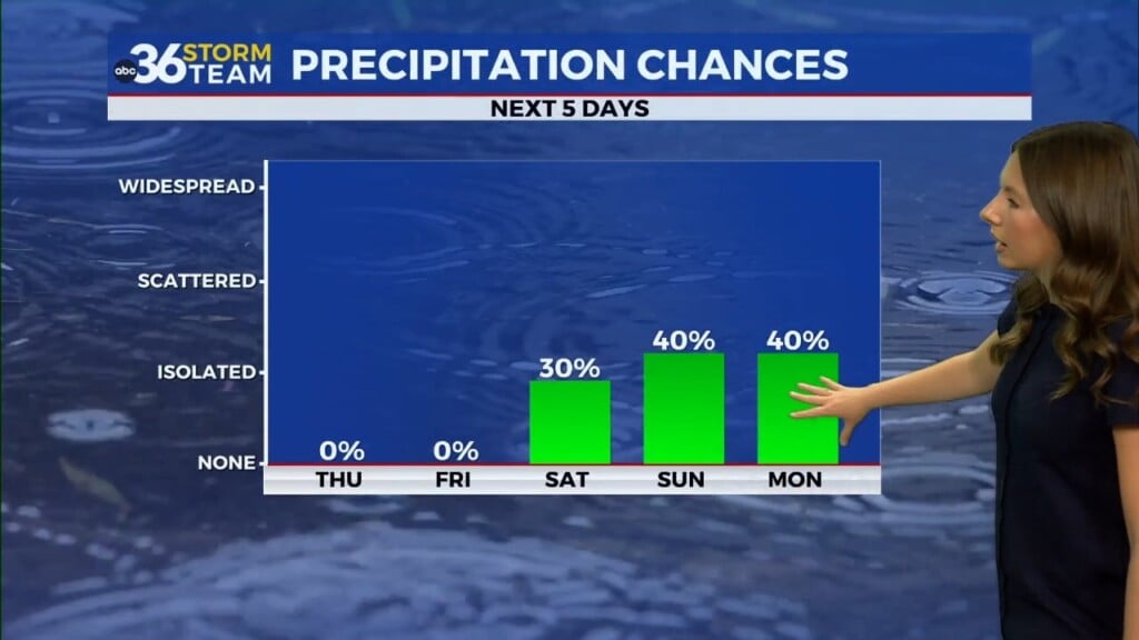
LEXINGTON, Ky. (ABC 36 NEWS NOW) – After a picture-perfect Mother’s Day weekend, rain gear is once again a must as we kick off the new workweek. Scattered showers and storms have returned to the region, and while it won’t be raining all day, there will be waves of wet weather to contend with, especially through the afternoon and evening hours.
A slow-moving low-pressure system to our south is sending rich moisture up into Kentucky, helping fuel multiple rounds of showers and a few thunderstorms. You’ll want to stay weather aware today as isolated pockets of heavy rainfall are possible, particularly in the afternoon. A few stronger storms could bring small hail or gusty winds, but the overall severe weather risk remains low at this time.
To start the week…
Expect off-and-on rain throughout the day. The heaviest rainfall is likely during the afternoon, though breaks in the activity are also expected. Temperatures will stay on the mild side, topping out in the mid-70s, with a muggy feel thanks to high humidity levels. Rain chances start to wind down overnight. Lingering showers will still be possible, especially in eastern Kentucky, but many spots may see a break in the action. Lows fall into the lower 60s.
Tuesday is a copy-and-paste forecast of Monday. Another day of scattered showers and storms as the upper-level low continues to slowly spin its way through the Ohio and Tennessee valleys. Like Monday, rain won’t be constant, but periods of heavier downpours could again create ponding on roads and localized flooding in poor drainage areas. Highs reach the mid to upper 70s.
Wednesday brings signs of change as the rain-making system begins to pull away from our region. A few lingering showers are still possible—mainly in eastern Kentucky—but coverage will begin to shrink. We’ll start to dry out and warm up with highs near 80° by late afternoon.
Here comes the heat
By Thursday, we shift into a summer-like pattern. Sunshine and breezy southwest winds will send afternoon highs soaring into the mid to possibly upper 80s—some of the warmest temperatures we’ve seen so far this year. It’ll be a dry and hot day overall, but the incoming warmth also sets the stage for our next round of storms.
Storm chances increase Thursday night and into Friday
A another system begins to take shape across the Midwest to close out the week. While our viewing area is not currently included in the Storm Prediction Center’s severe weather outlook, we’re closely watching the potential for stronger storms as this system moves in late week. With strong heating, high moisture, and increasing wind shear, the ingredients are there for active weather, especially Friday into Saturday.
We’ll keep a close eye on the end-of-week pattern as more details come into focus. For now, enjoy the dry breaks when you can, and stay weather aware through the week. Stick with the ABC 36 Storm Team for your latest updates!


