Severe storm threat on Tuesday
Strong-to-severe storms are in the forecast Tuesday afternoon and evening
LEXINGTON, Ky. (ABC 36 NEWS NOW) – It’s a warm and quiet start to your Tuesday across central and eastern Kentucky, but all eyes are on the potential for strong-to-severe storms later today. The ABC 36 Storm Team is tracking a potent cold front moving in from the west, bringing with it the risk for damaging wind gusts, heavy rain, and possibly some hail.
The Storm Prediction Center has placed areas along and north of I-64 under a Level 3 out of 5 (Enhanced Risk) for severe weather, with the rest of central and eastern Kentucky in a Level 2 (Slight Risk). The main threat is damaging wind gusts, but isolated large hail and even a brief spin-up tornado can’t be ruled out. The most likely timing for severe weather looks to be from 2 PM through 9 PM, with storms forming to our west and sweeping across the region through the evening.
Storms may arrive in clusters or lines, especially along and north of the Bluegrass Parkway and into the I-64 corridor. Some storms could produce localized flooding if they track over the same areas.
Lingering Storm Chances Through Friday
This front doesn’t fully clear the region—it stalls out across Kentucky on Wednesday, meaning we’re not done with the rain or storms. Scattered storms will pop up again during the day Wednesday, especially in the afternoon and evening hours. While the severe threat is much lower, localized downpours and a few stronger storms with gusty winds and hail remain possible.
On Thursday, another system approaches from the west, and this one could bring a renewed chance for stronger storms, especially later in the day. While there’s no official severe risk outlook yet from the SPC for Thursday, we wouldn’t be surprised to see one added soon as model trends continue. We’ll be watching that closely.
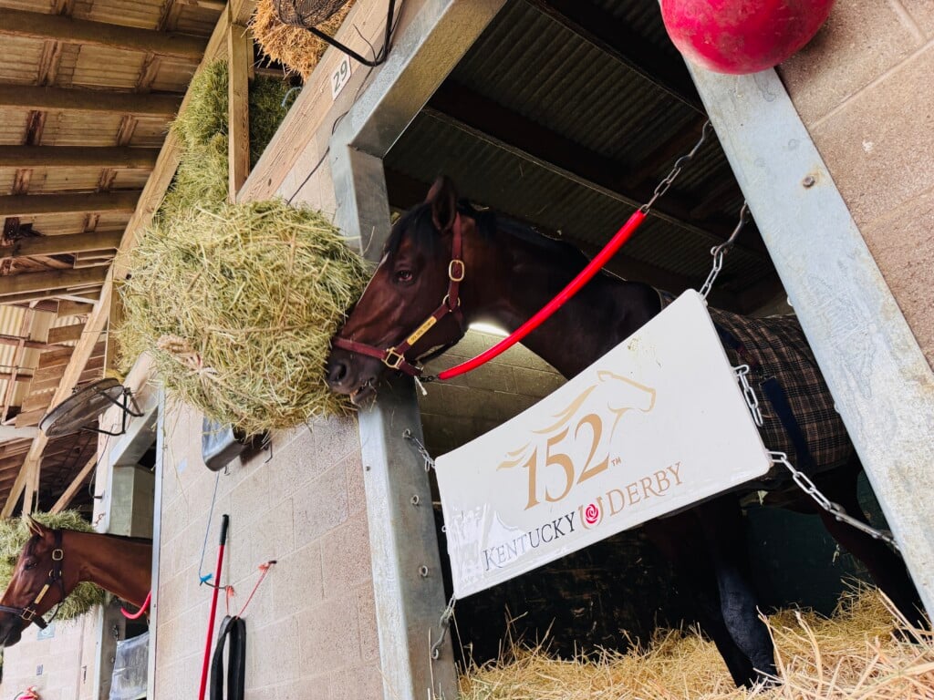
Derby Outlook
As we head into the Kentucky Derby festivities, the forecast remains a bit unsettled:
-
Thurby (Thursday): Scattered showers and storms will be possible during the day. Have the rain gear ready if you’re heading out to events.
-
Kentucky Oaks Day (Friday): A bit of a split setup. Louisville and points west may see a window of drier weather by the afternoon, while Lexington and eastern Kentucky could still deal with lingering rain or storms, especially early in the day.
-
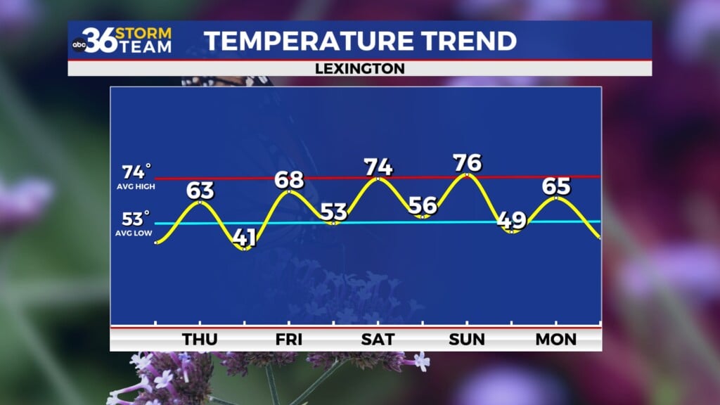
Derby Day (Saturday): Finally some improvement! An upper level low pulls out of the area on Saturday, ushering in seasonably cooler and drier weather just in time for the 151st running of the Kentucky Derby. Highs in the 60s to around 70 with sunshine expected.


