Round of showers and a few storms to start the workweek
Expect rain and storm chances to exit east by the later afternoon and evening hours
LEXINGTON, Ky. (ABC 36 NEWS NOW) – A line of rain showers and a few rumbles of thunder is kicking off our new workweek across central and eastern Kentucky. This system will be short-lived and relatively weak, with no severe weather expected and rainfall totals generally staying between a quarter and half an inch.
This line will push eastward fairly quickly, with improving conditions expected by the late afternoon and evening hours—especially for areas west of I-75 first, then gradually into eastern Kentucky.
Behind this front, cooler and calmer weather takes over. Temperatures will dip into the upper 40s and low 50s overnight under clearing skies. Winds will also begin to relax as high pressure builds in.
Turnaround Tuesday: Dry, Mild, and Beautiful
Tuesday is shaping up to be a gorgeous spring day across the region. After some leftover clouds early in the day, expect skies to turn partly to mostly sunny by afternoon. Highs will climb into the low to mid 70s—perfect weather to spend some time outdoors.
We’ll warm even more into Wednesday, with many spots reaching the upper 70s. A stray mountain shower can’t be ruled out, especially near the KY/TN border and Lake Cumberland region, but most of the area will remain dry and warm.
Late Week: Rain Chances Return
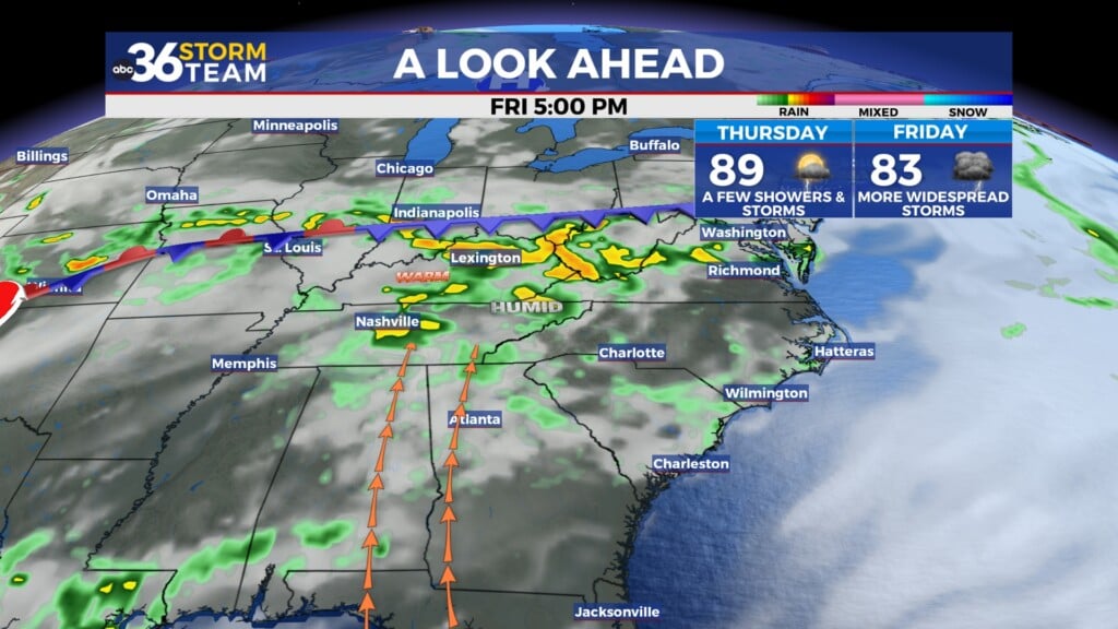
Our next unsettled stretch arrives late Thursday into early Saturday as a series of disturbances moves through the region. Thursday will feature increasing clouds with some scattered showers developing later in the day. The highest rain chances arrive Friday, when heavier downpours will be possible at times.
While there’s still some uncertainty in the exact timing and intensity, this system could bring periods of locally heavy rainfall. We’ll continue to monitor the setup for any potential strong storms, but as of now, the severe threat looks low.
Conditions should begin to dry out from north to south by Saturday afternoon. Sunday is trending dry and pleasant with highs back into the low to mid 70s.