A few showers and storms Thursday ahead of a strong weekend storm system
Don't be caught off guard by an isolated shower or storm on Thursday
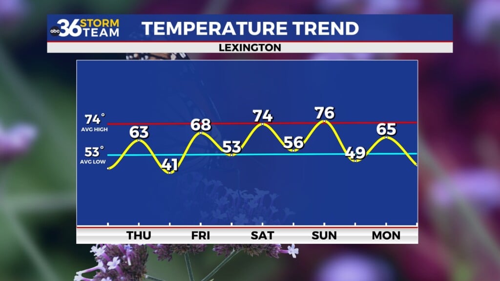
LEXINGTON, Ky. (ABC 36 NEWS NOW) – A few pop-up showers and storms will be possible across central and eastern Kentucky this afternoon and into the early evening. While most areas will remain dry, don’t be surprised if you encounter a brief downpour or a rumble of thunder, especially along and north of I-64, where weak boundaries could enhance storm development. Otherwise, expect another warm day, though temperatures will be slightly lower than the past couple of days, topping out in the low-to-mid 70s.
Skies should clear out overnight, setting the stage for a great opportunity to view the Total Lunar Eclipse early Friday morning. The total eclipse will last from 2:26 a.m. to 3:31 a.m. with mostly clear skies expected, though some high clouds could drift in late.
Friday will likely be the warmest day of the week as strong southerly winds ramp up ahead of an approaching storm system. Highs will surge into the upper 70s and even low 80s, potentially nearing record territory. Winds will be breezy throughout the day, with gusts of 30-40 mph possible in the afternoon.
ABC 36 Storm Team Weather IMPACT Day: Late Friday Night – Saturday Night A strong storm system will bring two waves of thunderstorms to Kentucky. The first round is expected late Friday night into early Saturday morning. The Storm Prediction Center has placed the region on the eastern edge of a severe threat during this timeframe. While instability will be somewhat limited overnight, strong wind fields could lead to damaging wind gusts with any storms that develop. An isolated tornado cannot be ruled out, especially if any bowing segments or embedded supercells form.
The second and more potent round of storms is expected Saturday afternoon into Saturday night. The entire area is under at least a Level 2 out of 5 Severe Risk, with far south-central Kentucky (south of Lake Cumberland) under a Level 3 out of 5 Severe Risk. This round has the potential to bring all modes of severe weather, including damaging wind gusts, scattered large hail, and possibly an isolated tornado. Outside of storms, gusty non-thunderstorm winds of 40-50 mph are possible throughout Saturday, further adding to the impacts of this system.
Heavy rainfall is also a concern. A widespread 1-3 inches of rain is expected between early Saturday and Sunday morning, with locally higher amounts of 2-4 inches possible in stronger storms. While flash flooding is not expected to be widespread, localized flooding could develop in areas where training storms occur.
As the system moves out, temperatures will drop significantly Sunday into Monday, bringing a much cooler feel for St. Patrick’s Day. Highs will struggle to reach the 50s by Sunday, with morning lows near freezing by Monday morning. A brief dry period is expected early next week before the next system brings another chance of rain by midweek.
Stay tuned to ABC 36 for updates as we fine-tune details on this dynamic system. This is a time to remain Weather Aware and have multiple ways to receive alerts.


