Wintry start to Thursday
Meteorologist Dillon Gaudet has the latest in your full ABC 36 Storm Team forecast
LEXINGTON, Ky. (ABC 36 NEWS NOW) – We are waking up to a wintry feel across Kentucky this Thursday morning. Overnight, light snow likely left snow- and ice-covered cars, especially in eastern Kentucky, where lingering snow showers and a wintry mix will continue through the morning hours. Any additional accumulation should be minimal, but higher elevations near the Virginia border may have seen up to two inches of snow. Roads could be slick in spots, so use caution during your morning commute.
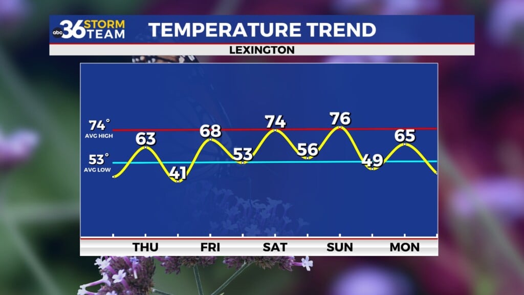
As the morning progresses, expect precipitation to exit to the east, giving way to gradually clearing skies. However, it will still feel cold throughout the day, with breezy conditions persisting. Highs will reach the low-to-mid 40s, but wind gusts of 20-25 mph will make it feel even chillier.
Looking Ahead: A Milder Trend Develops
Clouds will increase again tonight ahead of our next system, which will bring another round of rain late Friday into early Saturday. This system is associated with a weakening low-pressure system moving in from the west, bringing generally light rain overnight Friday. Rain could linger into Saturday morning, especially along the I-75 corridor, before drying out by midday.
Temperatures will remain on the cooler side Saturday, with highs struggling to reach the mid-to-upper 40s north of Lexington and into northern Kentucky, while areas farther south may climb into the lower 50s. A chilly night follows, with lows dipping into the upper 20s and low 30s.
Spring Fever Next Week?
As we spring forward with Daylight Saving Time beginning at 2 a.m. on Sunday, temperatures will start trending significantly warmer. High pressure builds in, leading to a dry and sunny stretch to start next week. Highs will reach the low 60s on Monday, then surge into the low 70s on Tuesday, with mid-70s possible by Wednesday.
This warming trend comes ahead of a potentially strong storm system by late next week. While it’s too early for specifics, the timeframe of Thursday through Saturday will need to be monitored for active weather, including rain and possibly thunderstorms.
Stay with the ABC 36 Storm Team for more updates.


