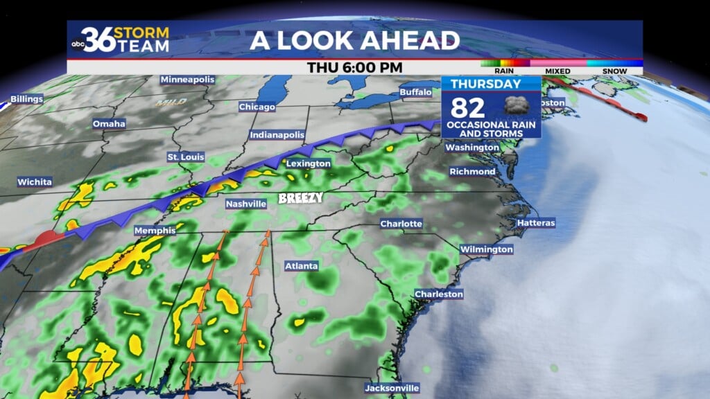
Morning strong storms exit east on Thursday
Meteorologist Dillon Gaudet has the latest in your full ABC 36 Storm Team forecast
LEXINGTON, Ky. (ABC 36 NEWS NOW) – Heavy overnight rain and strong storms have exited east, but we aren’t done with the impacts. Runoff from the soaking rains will continue to flow downstream, leading to rising river levels through the morning and afternoon. While the severe threat is now behind us, flooding concerns will linger, particularly along rivers and streams.
Thursday: A Temporary Lull
As the system pulls away, much of the day will feature relatively quiet conditions. Skies will remain mostly cloudy with temperatures hovering in the upper 50s to low 60s across southern Kentucky, while areas to the north will struggle to reach the mid-50s. Winds will shift out of the northwest as a weak surface boundary stalls across the region. A few isolated showers may redevelop this afternoon, but no severe weather is expected.
Thursday Night: A Cold Front Brings More Rain
A secondary cold front will push through overnight, bringing another round of showers and possibly a few thunderstorms, mainly for southern Kentucky. This system will not be nearly as strong as the one that just passed, but it will be enough to reinforce cooler air behind it. Temperatures will drop into the low-to-mid 30s by Friday morning, signaling the return of a chillier air mass.
Friday: Briefly Cooler Before Another Warm Surge
Expect a mix of sun and clouds on Friday as high pressure briefly builds in. Highs will reach the mid-to-upper 40s, which is close to seasonal norms. However, another fast-moving system will approach late Friday into Saturday, bringing yet another wave of rain and gusty winds.
Saturday: Another Warm-Up, More Storms Possible
Ahead of the next system, temperatures will spike again, with highs climbing back into the upper 50s and low 60s. This system will bring widespread rain through Saturday, and while thunder is not currently in the forecast, a few stronger storms could develop depending on the exact track and timing of the system.
Next Week: A Wintry Weather in Play
A very active weather pattern is expected to continue into next week, with multiple rounds of precipitation possible. As colder air settles in, the potential for wintry weather increases. While confidence remains low regarding exact precipitation types and amounts, heavy snow and/or flooding rain are both on the table. The key takeaway is that next week could feature significant winter weather impacts, and we will be closely monitoring model trends.
Stay with the ABC 36 Storm Team for more updates.