Another hot day today ahead of weekend storms
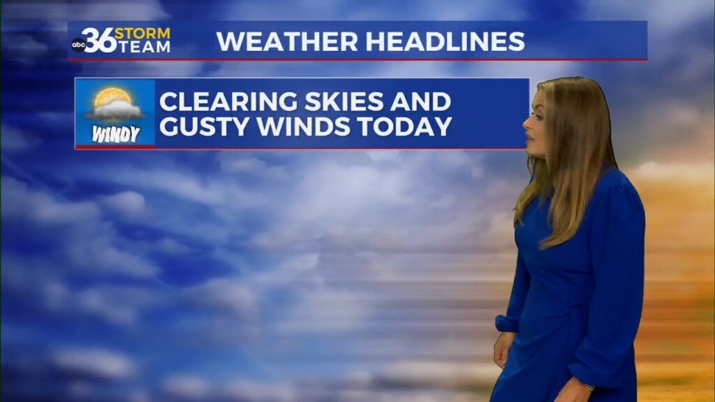
Friday is going to be another hot one in central Kentucky with near record highs expected again today. Temps will peak in the mid to upper 90s, and afternoon thunderstorm chances return as a boundary continues to linger to the north of us. Overnight, temps will dip into the upper 60s and low 70s.
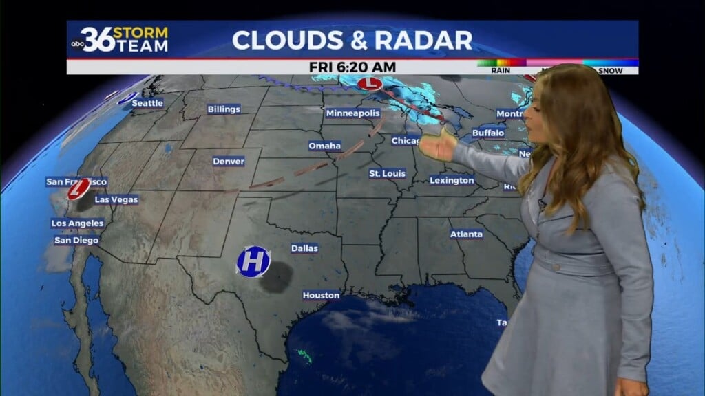
Thunderstorm chances continue into the weekend as a cold front sweeps across the state Saturday and Sunday. Rain and storm chances are better on Saturday, which could impact UK’s home football opener Saturday night. Sunday is looking to dry out by mid-day for the Bluegrass with lingering storm chances for southeast KY into the afternoon hours, as the front sinks into the southeastern US.
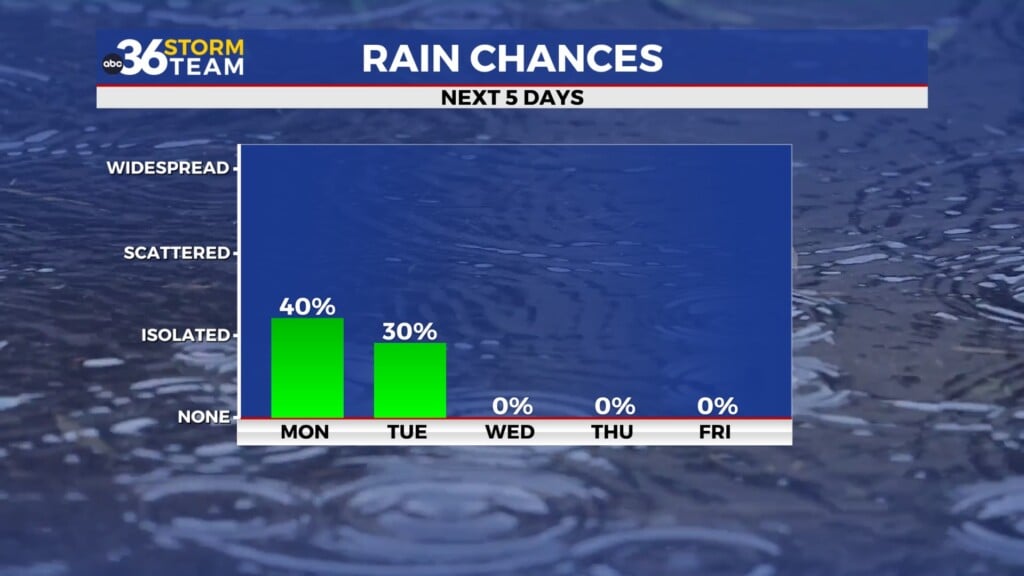
Our Labor Day forecast is turning out to be pleasant with temps peaking in the low 80s
and humidity levels in the comfy zone. Tuesday’s forecast mimics Monday, but we are tracking small rain chances midweek. Temps hang out in the low to mid 80s through mid week.