Pleasant conditions continue to start the workweek
Meteorologist Dillon Gaudet has the latest in your full ABC 36 Storm Team forecast
LEXINGTON, Ky. (ABC 36 NEWS NOW) – Good morning Kentucky! What a beautiful weekend it was across central and eastern Kentucky. Those pleasant conditions will continue in your Monday. Afternoon highs today will climb into the low 80s for most locations under most sunny skies. Cloud cover will start to increase a bit by the evening hours. This is ahead of a light shower chance overnight into early Tuesday. This will stay generally very light with most areas actually remaining dry. This will mainly be during the overnight hours but still be prepared for a few damp spots to begin the day on Tuesday.
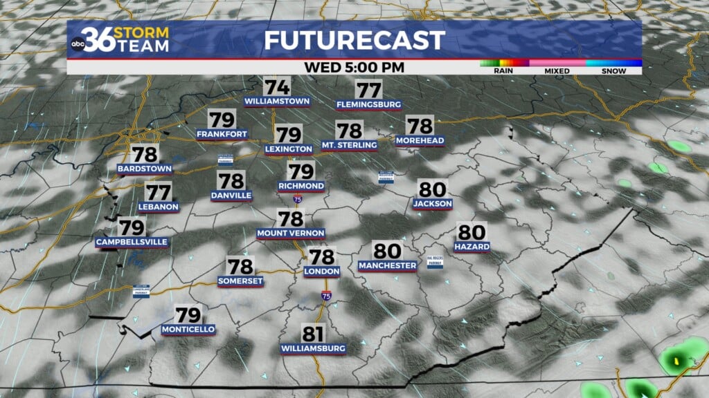
We start to warm-up for the mid-week with temperatures returning to the mid-to-upper 80s by Wednesday and Thursday. This will eventually lead to rain and storm chances by the end of the week. Isolated showers and storms are possible late Thursday, before the storm chances increase on Friday. A few of these storms could be produce some locally heavy rain and storms on Friday into Saturday as well.
Rain chances will continue for the first half of the weekend before we try to dry things out by Sunday. Overall, a widespread half inch to an inch and half can be expected through Sunday. Locally heavier amounts will be possible in any of the stronger storms on Friday. After temperatures climb into the upper 80s late week, we will fall back into the low-to-mid 80s by the end of the weekend.
Stay with the ABC 36 Storm Team for more updates.
ABC 36 HOUR FORECAST
MONDAY: Mostly sunny and feeling pleasant. Highs in the l0w 80s.
MONDAY NIGHT: Mostly cloudy with a few light rain showers. Lows in the low-to-mid 60s.
TUESDAY: Mostly cloudy, turning mostly sunny by the afternoon. Highs in the mid-80s.