Heat returns by the weekend
Meteorologist Dillon Gaudet has the latest in your full ABC 36 Storm Team forecast
LEXINGTON, Ky. (ABC 36 NEWS NOW) – Good morning Kentucky and happy Thursday! We are tracking a really nice mid-June day today with temperatures right around average and mainly dry conditions. The strong breeze and overcast conditions from the first half of yesterday have exited leaving us with a pleasant feel to begin the day. Some locations in southern Kentucky actually dipped into the upper 50s this morning! Temperatures will return to the mid-80s for most locations by this afternoon, with some upper 80s possible in spots. There is a small chance of a late day shower or storm north and west of Lexington, but that chance is very limited.
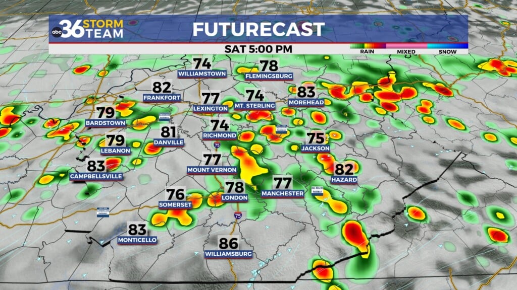
The big headline is the warmth that will be building by the weekend. Afternoon highs on Friday should reach the upper 80s and low 90s, before climbing into the mid-90s by the end of the weekend. Thankfully the humidity won’t be much of a factor on Friday, but the high humidity will return by Sunday into Monday. We expect most locations to remain dry over the weekend but an isolated shower or storm can’t be ruled out. This chance is low so no need to cancel any plans. Just don’t be caught off guard by one of the rogue showers or storms.
However, we do need the rain. Areas in central Kentucky are running below normal for this time of the year. We will take any rain we can get even if it’s just a pop-up shower or storm.
Temperatures will likely continue to climb into early next week. If we stay dry Monday and Tuesday, both days could make a run at the upper 90s. That is if we stay dry. Clusters of storms will be forming to our north and northwest, that could drop rain and storms into our area. The heaviest rain and storms both days will likely stay to our north but we could be catching the tail end of some of this rain. Regardless, it’s still going to be a hot and humid stretch. Heat index values will be pushing the low 100s both Monday and Tuesday.
Late Tuesday into Wednesday is where the pattern starts to change up. A frontal boundary to our north will be moving through the region. It’s too early for specific timing, this could drop in Wednesday or late Wednesday into Thursday. The exact timing will really impact our temperatures. If it arrives later on Wednesday, expect it to be another hot and humid day. If it arrives early in the day, Wednesday will likely be a bit cooler. This will also bring a round of rain and storms to the region, that may feature some stronger storms and heavy rain. Again, it is too early for specifics this is just something to keep your eye on.
We are expecting to cool down by the end of next after this system exits. We will likely lose a lot of the humidity and the temperatures should return to near normal, if not below normal.
Stay with the ABC 36 Storm Team for more updates.
ABC 36 HOUR FORECAST
THURSDAY: Mostly sunny-to-partly cloudy. Highs in the mid-to-upper 80s.
THURSDAY NIGHT: Mostly clear and quiet. Lows in the upper 60s.
FRIDAY: Mostly sunny and warmer. Highs in the low 90s.