Increased severe threat Tuesday
Meteorologist Dillon Gaudet has the latest in your full ABC 36 Storm Team forecast
LEXINGTON, Ky. (ABC 36 NEWS NOW) – Happy Tuesday! It’s a warm and muggy start to the day as tropical moisture inundates the Ohio Valley ahead of the remnants of Beryl. Heat and humidity will help fuel afternoon and evening storm chances across the region. With the remnants of Beryl passing to our west, this will lead to us dealing with an increased spin-up tornado threat. There is Level 2 Severe Risk out for areas north and west of Frankfort, while most of the rest of the area has a Level 1 Severe Risk.

The spin-up tornado threat will likely be the biggest concern severe weather wise, while isolated damaging gusts will be possible in the strongest of the storms. Flooding won’t likely be much of a concern as the heaviest of the rain will stay to our northwest.

The timeframe of the strongest storms will be during the afternoon and last through the evening hours. During the early afternoon storms will begin to fire up across the region. These storms could have some weak rotation that will be worth watching. The threat increases to our west late this afternoon into the early evening as the low pressure from Beryl moves in.

Ahead of that area of low pressure will have the greatest rotating storm potential. This will be mainly over southern Indiana and the I-65 corridor north of the Bluegrass & Western Parkways.

Severe storm chances will drop off late this evening into the overnight as the area of low pressure quickly exits towards the northwest. Lingering breezy rain showers will be possible during the first part of the day on Wednesday. Conditions will also be noticeably cooler as well, remaining in the upper 70s and low 80s for most areas.
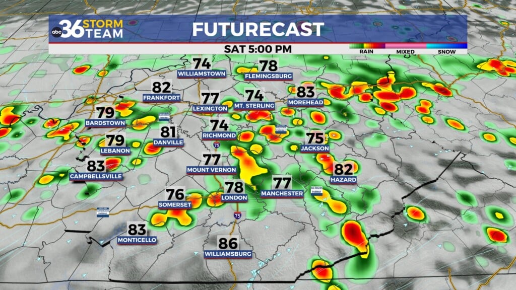
There is a small chance of a shower or storm on Thursday and temperatures will begin to improve. Afternoon highs will reach the mid-80s for most, climbing into the upper 80s for some. This warm-up will continue into the weekend. Sunday we will be pushing the mid-90s across the region. This hot pattern is likely to last into next week. Storm chances will eventually return as well after the drier end to this week.
Stay with the ABC 36 Storm Team for more updates.
ABC 36 HOUR FORECAST
TUESDAY: Partly cloudy and few strong PM storms. Highs in the low 90s.
TUESDAY NIGHT: Round of storms, then breezy rain showers. Lows in the upper 60s and low 70s.
WEDNESDAY: Seasonably cooler with breezy rain showers early. Highs in the low 80s.