A significant severe weather event possible on Sunday
Meteorologist Jordan Smith has your Saturday evening ABC 36 Storm Team forecast
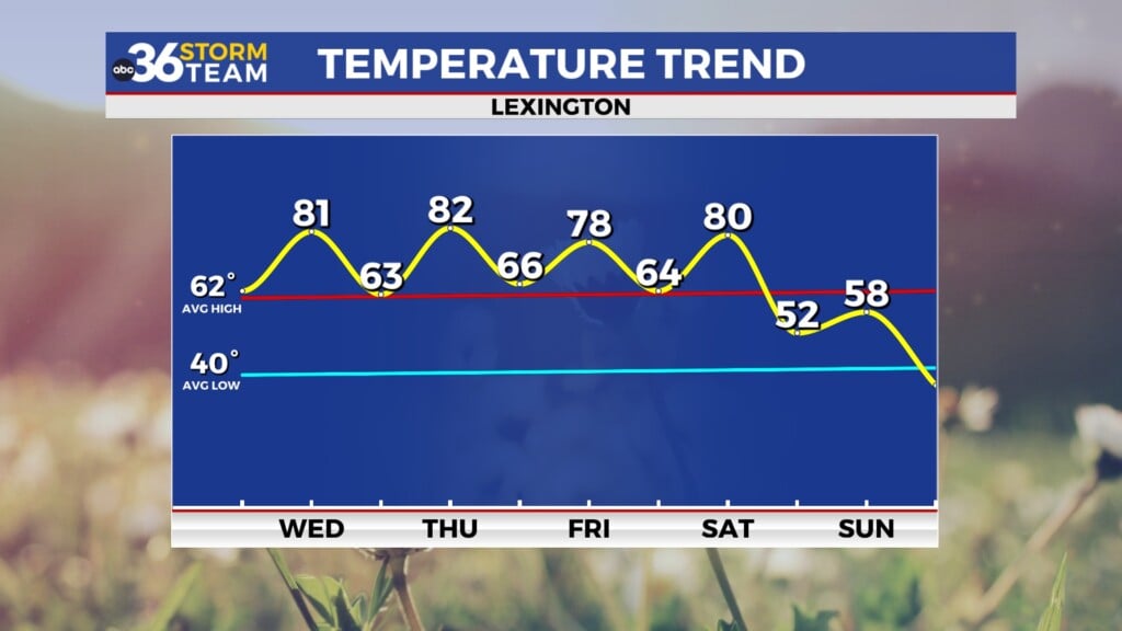
LEXINGTON, Ky. (ABC36 NEWS NOW) – Good Saturday evening everyone, I hope you all are enjoying this Memorial Day weekend. The weather has been pretty great today with plenty of sunshine and temperatures in the low 80s. But everyone needs to be very vigilant and weather aware as we head into our Sunday as we have the potential of a SIGNIFICANT severe weather event across the entire state of Kentucky. An “ENHANCED RISK” (level 3/5) is out for pretty much the entire state with a “SLIGHT RISK” (level 2/5) out for far eastern Kentucky.
ALL modes of severe weather are possible, so let’s break down it down threat by threat. We start out with our number one threat which is an increased risk for HURRICANE FORCE winds of 75mph+. That is especially the case in the red “hatched” area as shown below.
You can see that includes pretty much the entire state. Our next threat is for an increased risk of large hail of 2.00 or greater in diameter, especially in southern and western Kentucky where a “hatched” area is.
Our next threat is the chance for a few tornadoes. But as you can see below, the tornado threat is the lowest of the threats but is still increased. The greatest tornado threat is likely in far western Kentucky.
DO NOT let your guard down because of that though, the winds we can see our low end tornado strength and can do just as much damage. Here is a breakdown of the threats by each level.
As previously talked about, the highest threats are damaging winds and large hail, but the tornado threat is increased compared to normal. You’ll also noticed we have an increased risk for flash flooding as these storms drop a lot of rain. For that reason, the WPC (Weather Prediction Center) has the entire area in a level 2 risk for flash flooding.
So know let’s breakdown the timing. Unfortunately, the window everyone needs to stay weather aware is a long one as we could see multiple rounds. The first round looks to come early to mid afternoon between 12pm-4pm.
The next round could be in the form of isolated storms going up on there own behind this first line. Timing for those looks to be between 5pm-10pm.
The third and final round comes in form of another line 10pm-3am.
So the threat starts in the afternoon and last into the wee hours of Monday morning. If you are camping or in an area this weekend that you may not be familiar with given the holiday weekend, PLEASE make sure you stay weather aware and have a plan of action if/when storms strike.
Also make sure you have MULTIPLE ways to receive watches and warnings!
The ABC 36 Storm Team will be here with you through it all both on-air and online so stay tuned. #kywx


